Distance to Kentfield, California

Calculating Your Route
Just a moment while we process your request...
Location Information
-
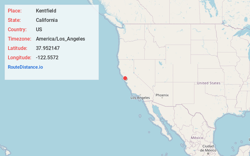
Full AddressKentfield, CA
-
Coordinates37.9521465, -122.5571997
-
LocationKentfield , California , US
-
TimezoneAmerica/Los_Angeles
-
Current Local Time11:45:54 PM America/Los_AngelesWednesday, June 18, 2025
-
Page Views0
About Kentfield
Kentfield is a unincorporated community in Marin County, California, United States, just north of San Francisco. Kentfield is located 2 miles southwest of downtown San Rafael, at an elevation of 115 feet. For statistical purposes, the United States Census Bureau has defined Kentfield as a census-designated place.


Nearby Places
Found 10 places within 50 miles

San Anselmo
1.6 mi
2.6 km
San Anselmo, CA 94960
Get directions

Larkspur
1.7 mi
2.7 km
Larkspur, CA
Get directions

San Rafael
2.1 mi
3.4 km
San Rafael, CA
Get directions

Corte Madera
2.5 mi
4.0 km
Corte Madera, CA
Get directions

Fairfax
3.0 mi
4.8 km
Fairfax, CA
Get directions

Mill Valley
3.3 mi
5.3 km
Mill Valley, CA 94941
Get directions

Tamalpais-Homestead Valley
5.5 mi
8.9 km
Tamalpais-Homestead Valley, CA 94941
Get directions

Novato
10.8 mi
17.4 km
Novato, CA
Get directions

San Pablo
11.6 mi
18.7 km
San Pablo, CA
Get directions

Richmond
11.7 mi
18.8 km
Richmond, CA
Get directions
Location Links
Local Weather
Weather Information
Coming soon!
Location Map
Static map view of Kentfield, California
Browse Places by Distance
Places within specific distances from Kentfield
Short Distances
Long Distances
Click any distance to see all places within that range from Kentfield. Distances shown in miles (1 mile ≈ 1.61 kilometers).