Distance to Keota, Missouri

Calculating Your Route
Just a moment while we process your request...
Location Information
-
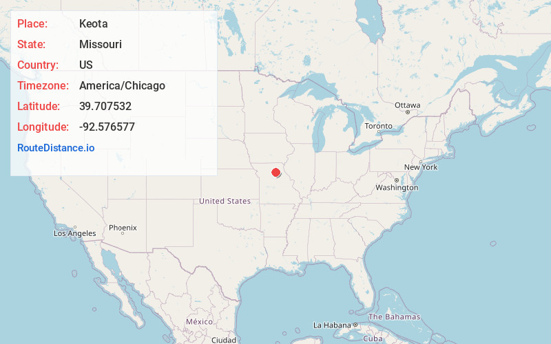
Full AddressKeota, MO 63532
-
Coordinates39.7075321, -92.5765767
-
LocationKeota , Missouri , US
-
TimezoneAmerica/Chicago
-
Current Local Time3:09:27 PM America/ChicagoSunday, June 15, 2025
-
Page Views0
About Keota
Keota is an unincorporated community that is located in Macon County, in the U.S. state of Missouri.
Nearby Places
Found 10 places within 50 miles

Number Eight
1.9 mi
3.1 km
Number Eight, MO 63532
Get directions

Bevier
2.8 mi
4.5 km
Bevier, MO 63532
Get directions

Callao
4.4 mi
7.1 km
Callao, MO 63534
Get directions
Binkley
4.7 mi
7.6 km
Binkley, Chariton Township, MO 65247
Get directions

College Mound
5.8 mi
9.3 km
College Mound, MO 65247
Get directions

Macon
6.0 mi
9.7 km
Macon, MO 63552
Get directions
Excello
7.3 mi
11.7 km
Excello, MO 65247
Get directions
Kern
8.1 mi
13.0 km
Kern, Callao Township, MO 63558
Get directions

Thomas Hill Reservoir
8.3 mi
13.4 km
Thomas Hill Reservoir, Missouri
Get directions
Kellogg
9.4 mi
15.1 km
Kellogg, MO 63552
Get directions
Location Links
Local Weather
Weather Information
Coming soon!
Location Map
Static map view of Keota, Missouri
Browse Places by Distance
Places within specific distances from Keota
Short Distances
Long Distances
Click any distance to see all places within that range from Keota. Distances shown in miles (1 mile ≈ 1.61 kilometers).