Distance to Kettle, Kentucky

Calculating Your Route
Just a moment while we process your request...
Location Information
-
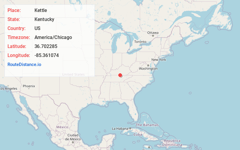
Full AddressKettle, KY 42717
-
Coordinates36.7022847, -85.3610742
-
LocationKettle , Kentucky , US
-
TimezoneAmerica/Chicago
-
Current Local Time10:23:13 PM America/ChicagoSaturday, June 21, 2025
-
Page Views0
About Kettle
Kettle is an unincorporated community in Cumberland County, Kentucky, United States. It lies along Route 61 south of the city of Burkesville, the county seat of Cumberland County. Its elevation is 984 feet.
The community was named after a creek of the same name.


Nearby Places
Found 10 places within 50 miles

Littrell
2.3 mi
3.7 km
Littrell, KY 42717
Get directions
Bow
4.3 mi
6.9 km
Bow, KY 42717
Get directions
Frogue
4.3 mi
6.9 km
Frogue, KY 42717
Get directions
Hegira
4.7 mi
7.6 km
Hegira, KY 42717
Get directions
Stalcup
4.7 mi
7.6 km
Stalcup, KY 42717
Get directions
Peytonsburg
5.0 mi
8.0 km
Peytonsburg, KY 42717
Get directions
Ellington
5.1 mi
8.2 km
Ellington, KY 42717
Get directions
Green Grove
5.5 mi
8.9 km
Green Grove, KY 42717
Get directions
Hobart
5.6 mi
9.0 km
Hobart, KY 42717
Get directions

Burkesville
6.1 mi
9.8 km
Burkesville, KY 42717
Get directions
Location Links
Local Weather
Weather Information
Coming soon!
Location Map
Static map view of Kettle, Kentucky
Browse Places by Distance
Places within specific distances from Kettle
Short Distances
Long Distances
Click any distance to see all places within that range from Kettle. Distances shown in miles (1 mile ≈ 1.61 kilometers).