Distance to Keyapaha, South Dakota

Calculating Your Route
Just a moment while we process your request...
Location Information
-
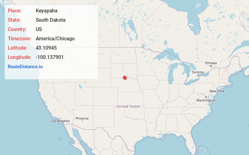
Full AddressKeyapaha, Holsclaw Township, SD 57580
-
Coordinates43.1094497, -100.1379014
-
LocationHolsclaw Township , South Dakota , US
-
TimezoneAmerica/Chicago
-
Current Local Time6:48:24 PM America/ChicagoThursday, June 19, 2025
-
Page Views0
About Keyapaha
Keyapaha is an unincorporated community in Tripp County, South Dakota, United States. Keyapaha is southwest of Colome and south of New Witten.
The community took its name from the Keya Paha River. The name "Keya Paha" is taken from the Sioux language; literally translated, it means "turtle hill".
Nearby Places
Found 10 places within 50 miles

Littleburg
16.5 mi
26.6 km
Littleburg, East Todd, SD 69201
Get directions
Okreek
21.4 mi
34.4 km
Okreek, SD
Get directions
New Witten
23.0 mi
37.0 km
New Witten, SD 57584
Get directions

Winner
23.2 mi
37.3 km
Winner, SD 57580
Get directions

Colome
23.7 mi
38.1 km
Colome, SD 57528
Get directions
Olsonville
23.8 mi
38.3 km
Olsonville, SD 69201
Get directions

Valentine
26.5 mi
42.6 km
Valentine, NE 69201
Get directions

Springview
27.8 mi
44.7 km
Springview, NE 68778
Get directions
Antelope
28.1 mi
45.2 km
Antelope, SD 57555
Get directions
Arabia
28.7 mi
46.2 km
Arabia, NE 69221
Get directions
Location Links
Local Weather
Weather Information
Coming soon!
Location Map
Static map view of Keyapaha, South Dakota
Browse Places by Distance
Places within specific distances from Keyapaha
Short Distances
Long Distances
Click any distance to see all places within that range from Keyapaha. Distances shown in miles (1 mile ≈ 1.61 kilometers).