Distance to Kieler, Wisconsin

Calculating Your Route
Just a moment while we process your request...
Location Information
-
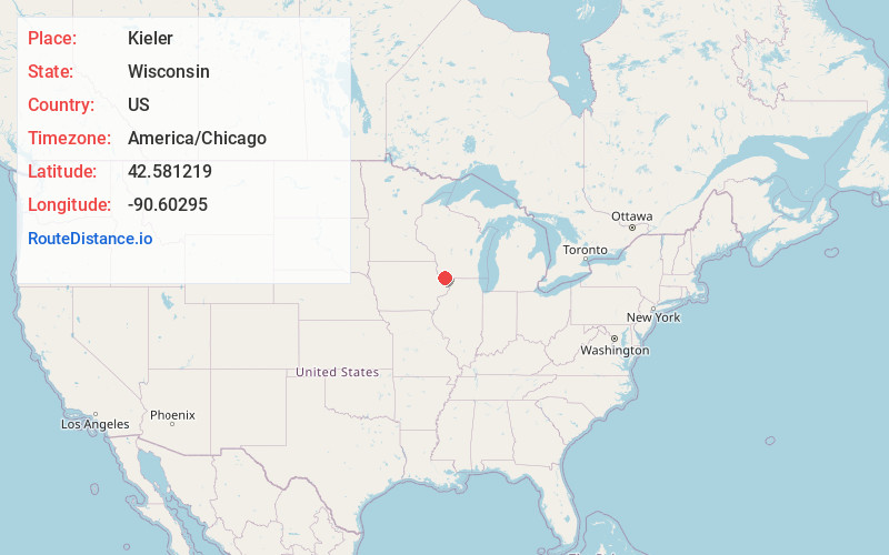
Full AddressKieler, WI
-
Coordinates42.5812186, -90.6029503
-
LocationKieler , Wisconsin , US
-
TimezoneAmerica/Chicago
-
Current Local Time9:36:50 PM America/ChicagoWednesday, June 18, 2025
-
Page Views0
About Kieler
Kieler is an unincorporated census-designated place in the Town of Jamestown in Grant County, Wisconsin. It is located about seven miles northeast of the Iowa-Wisconsin border and the city of Dubuque, Iowa, and about four miles southwest of Dickeyville, Wisconsin, along U.S. Highway 61 and U.S. Highway 151.
Nearby Places
Found 10 places within 50 miles

Dickeyville
3.2 mi
5.1 km
Dickeyville, WI
Get directions

Dubuque
6.1 mi
9.8 km
Dubuque, IA
Get directions

East Dubuque
6.5 mi
10.5 km
East Dubuque, IL 61025
Get directions

Asbury
8.8 mi
14.2 km
Asbury, IA 52002
Get directions

Cuba City
9.0 mi
14.5 km
Cuba City, WI 53807
Get directions

Hazel Green
9.2 mi
14.8 km
Hazel Green, WI 53811
Get directions

Potosi
9.3 mi
15.0 km
Potosi, WI 53820
Get directions

Benton
11.3 mi
18.2 km
Benton, WI 53803
Get directions

Platteville
12.3 mi
19.8 km
Platteville, WI 53818
Get directions

Galena
14.4 mi
23.2 km
Galena, IL 61036
Get directions
Location Links
Local Weather
Weather Information
Coming soon!
Location Map
Static map view of Kieler, Wisconsin
Browse Places by Distance
Places within specific distances from Kieler
Short Distances
Long Distances
Click any distance to see all places within that range from Kieler. Distances shown in miles (1 mile ≈ 1.61 kilometers).