Distance to Kila, Montana

Calculating Your Route
Just a moment while we process your request...
Location Information
-
Full AddressKila, MT 59920
-
Coordinates48.1199436, -114.4570722
-
LocationKila , Montana , US
-
TimezoneAmerica/Denver
-
Current Local Time5:41:44 AM America/DenverMonday, June 30, 2025
-
Page Views0
About Kila
Kila is a census-designated place and unincorporated community in Flathead County, Montana, United States. Its population was 424 as of the 2020 census. Kila has a post office with ZIP code 59920, which opened on May 27, 1901. The community is located along U.S. Route 2, 10 miles from Kalispell.


Nearby Places
Found 10 places within 50 miles

Batavia
4.8 mi
7.7 km
Batavia, MT 59901
Get directions

Kalispell
8.2 mi
13.2 km
Kalispell, MT 59901
Get directions

Marion
9.6 mi
15.4 km
Marion, MT
Get directions

Somers
11.1 mi
17.9 km
Somers, MT
Get directions

Evergreen
11.1 mi
17.9 km
Evergreen, MT 59901
Get directions

Lakeside
12.6 mi
20.3 km
Lakeside, MT
Get directions

Helena Flats
14.9 mi
24.0 km
Helena Flats, MT
Get directions

Bigfork
18.2 mi
29.3 km
Bigfork, MT 59911
Get directions

Woods Bay
20.5 mi
33.0 km
Woods Bay, MT 59911
Get directions

Whitefish
20.9 mi
33.6 km
Whitefish, MT 59937
Get directions
Location Links
Local Weather
Weather Information
Coming soon!
Location Map
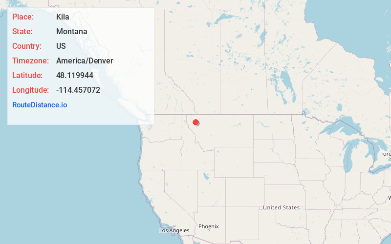
Static map view of Kila, Montana
Browse Places by Distance
Places within specific distances from Kila
Short Distances
Long Distances
Click any distance to see all places within that range from Kila. Distances shown in miles (1 mile ≈ 1.61 kilometers).