Distance to Killarney, Co. Kerry

Calculating Your Route
Just a moment while we process your request...
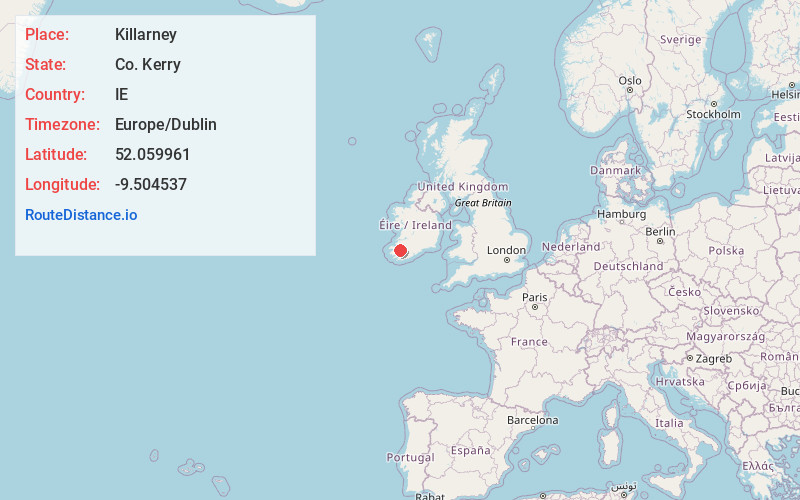
Location Information
-
Full AddressKillarney, Co. Kerry, Ireland
-
Coordinates52.0599609, -9.504537
-
LocationKillarney , Co. Kerry , IE
-
TimezoneEurope/Dublin
-
Current Local Time9:29:33 PM Europe/DublinWednesday, May 21, 2025
-
Website
-
Page Views0
About Killarney
Killarney is a town on the shores of Lough Leane in southwest Ireland’s County Kerry. It’s a stop on the Ring of Kerry scenic drive, and the start and finishing point of the 200-km Kerry Way walking trail. The town's 19th-century buildings include St. Mary’s Cathedral. Across the bridge from the cathedral is Killarney National Park. Victorian mansion Muckross House, Gardens & Traditional Farms sits in the park.


Nearby Places
Found 1 places within 50 miles

Location Links
Local Weather
Weather Information
Coming soon!
Location Map
Static map view of Killarney, Co. Kerry
Browse Places by Distance
Places within specific distances from Killarney
Short Distances
Long Distances
Click any distance to see all places within that range from Killarney. Distances shown in miles (1 mile ≈ 1.61 kilometers).