Distance to Kimberley, British Columbia

Calculating Your Route
Just a moment while we process your request...
Location Information
-
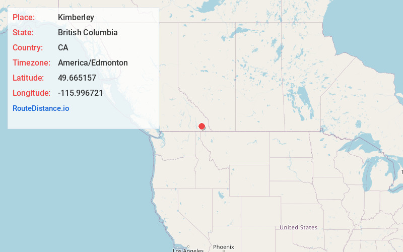
Full AddressKimberley, BC, Canada
-
Coordinates49.6651567, -115.9967207
-
LocationKimberley , British Columbia , CA
-
TimezoneAmerica/Edmonton
-
Current Local Time8:05:42 AM America/EdmontonSunday, June 1, 2025
-
Website
-
Page Views0
About Kimberley
Kimberley is a city in southeast British Columbia, Canada along Highway 95A between the Purcell and Rocky Mountains. Kimberley was named in 1896 after the Kimberley mine in South Africa. From 1917 to 2001, it was the home to the world's largest lead-zinc mine, the Sullivan Mine.


Nearby Places
Found 7 places within 50 miles

Cranbrook
14.6 mi
23.5 km
Cranbrook, BC, Canada
Get directions

Ainsworth
41.1 mi
66.1 km
Ainsworth, BC V0G 1A0, Canada
Get directions

Fernie
43.3 mi
69.7 km
Fernie, BC, Canada
Get directions

Creston
45.7 mi
73.5 km
Creston, BC, Canada
Get directions

Eastport
46.7 mi
75.2 km
Eastport, ID 83805
Get directions

Fairmont Hot Springs
46.8 mi
75.3 km
Fairmont Hot Springs, BC V0B 1L1, Canada
Get directions

Addie
49.8 mi
80.1 km
Addie, ID 83805
Get directions
Location Links
Local Weather
Weather Information
Coming soon!
Location Map
Static map view of Kimberley, British Columbia
Browse Places by Distance
Places within specific distances from Kimberley
Short Distances
Long Distances
Click any distance to see all places within that range from Kimberley. Distances shown in miles (1 mile ≈ 1.61 kilometers).