Distance to King Ferry, New York

Calculating Your Route
Just a moment while we process your request...
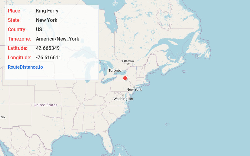
Location Information
-
Full AddressKing Ferry, NY 13081
-
Coordinates42.6653487, -76.6166113
-
LocationKing Ferry , New York , US
-
TimezoneAmerica/New_York
-
Current Local Time2:56:11 PM America/New_YorkSaturday, June 21, 2025
-
Page Views0
About King Ferry
King Ferry is a hamlet in the town of Genoa, Cayuga County, New York, United States. The community is located at the intersection of New York State Route 90 and New York State Route 34B, 16.4 miles north of Ithaca. King Ferry has a post office with ZIP code 13081, which opened on December 15, 1807.

Nearby Places
Found 10 places within 50 miles

Ledyard
2.1 mi
3.4 km
Ledyard, NY 13081
Get directions
Belltown
2.2 mi
3.5 km
Belltown, Genoa, NY 13081
Get directions
King Ferry Station
2.4 mi
3.9 km
King Ferry Station, Genoa, NY 13081
Get directions
Little Hollow
2.4 mi
3.9 km
Little Hollow, Genoa, NY 13071
Get directions
Kidders
4.2 mi
6.8 km
Kidders, Ovid, NY 14847
Get directions
Poplar Ridge
5.0 mi
8.0 km
Poplar Ridge, NY 13026
Get directions
East Genoa
5.8 mi
9.3 km
East Genoa, NY 13071
Get directions
Venice Center
5.9 mi
9.5 km
Venice Center, NY 13147
Get directions
East Venice
6.2 mi
10.0 km
East Venice, Venice, NY 13071
Get directions

Interlaken
6.4 mi
10.3 km
Interlaken, NY 14847
Get directions
Location Links
Local Weather
Weather Information
Coming soon!
Location Map
Static map view of King Ferry, New York
Browse Places by Distance
Places within specific distances from King Ferry
Short Distances
Long Distances
Click any distance to see all places within that range from King Ferry. Distances shown in miles (1 mile ≈ 1.61 kilometers).