Distance to Kings Mine, Ohio

Calculating Your Route
Just a moment while we process your request...
Location Information
-
Full AddressKings Mine, Center Township, OH 43755
-
Coordinates39.9900717, -81.4845643
-
LocationCenter Township , Ohio , US
-
TimezoneAmerica/New_York
-
Current Local Time3:49:50 AM America/New_YorkMonday, June 9, 2025
-
Page Views0
About Kings Mine
Kings Mine is an unincorporated community and coal town in southwestern Center Township, Guernsey County, Ohio, United States. It was also called Guild.
Nearby Places
Found 10 places within 50 miles

Blacktop
0.9 mi
1.4 km
Blacktop, Richland Township, OH 43780
Get directions

Lore City
1.4 mi
2.3 km
Lore City, OH 43755
Get directions
Ideal
2.6 mi
4.2 km
Ideal, Jackson Township, OH 43723
Get directions
Robins
2.8 mi
4.5 km
Robins, Jackson Township, OH 43723
Get directions
Byesville
3.1 mi
5.0 km
Byesville, OH 43723
Get directions
Old Washington
4.0 mi
6.4 km
Old Washington, OH
Get directions

Senecaville
4.0 mi
6.4 km
Senecaville, OH 43780
Get directions
Greenwood
4.7 mi
7.6 km
Greenwood, Richland Township, OH 43780
Get directions
Jackson Special
4.7 mi
7.6 km
Jackson Special, Cambridge Township, OH 43725
Get directions
Lucasburg
5.1 mi
8.2 km
Lucasburg, Jackson Township, OH 43723
Get directions
Location Links
Local Weather
Weather Information
Coming soon!
Location Map
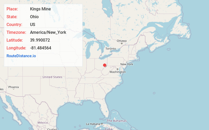
Static map view of Kings Mine, Ohio
Browse Places by Distance
Places within specific distances from Kings Mine
Short Distances
Long Distances
Click any distance to see all places within that range from Kings Mine. Distances shown in miles (1 mile ≈ 1.61 kilometers).