Distance to Kingston, Michigan

Calculating Your Route
Just a moment while we process your request...
Location Information
-
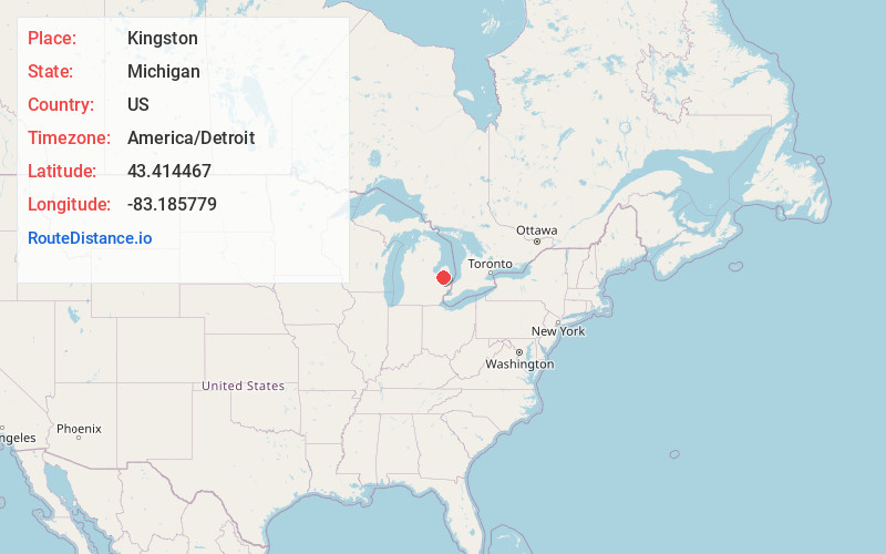
Full AddressKingston, MI 48741
-
Coordinates43.4144665, -83.1857787
-
LocationKingston , Michigan , US
-
TimezoneAmerica/Detroit
-
Current Local Time5:50:50 AM America/DetroitFriday, June 20, 2025
-
Page Views0
About Kingston
Kingston is a village in Tuscola County in the U.S. state of Michigan. The population was 440 at the 2010 census. The village is located at the southern edge of Kingston Township and is partially within Koylton Township.


Nearby Places
Found 10 places within 50 miles

Marlette
8.0 mi
12.9 km
Marlette, MI 48453
Get directions

Mayville
9.9 mi
15.9 km
Mayville, MI 48744
Get directions

Caro
11.8 mi
19.0 km
Caro, MI 48723
Get directions

North Branch
12.8 mi
20.6 km
North Branch, MI 48461
Get directions

Cass City
12.9 mi
20.8 km
Cass City, MI 48726
Get directions

Watertown Township
14.5 mi
23.3 km
Watertown Township, MI
Get directions

Brown City
17.1 mi
27.5 km
Brown City, MI 48416
Get directions

Sandusky
17.9 mi
28.8 km
Sandusky, MI 48471
Get directions

Otter Lake
19.4 mi
31.2 km
Otter Lake, MI 48464
Get directions

Fairgrove
19.5 mi
31.4 km
Fairgrove, MI 48733
Get directions
Location Links
Local Weather
Weather Information
Coming soon!
Location Map
Static map view of Kingston, Michigan
Browse Places by Distance
Places within specific distances from Kingston
Short Distances
Long Distances
Click any distance to see all places within that range from Kingston. Distances shown in miles (1 mile ≈ 1.61 kilometers).