Distance to Kingston, Iowa

Calculating Your Route
Just a moment while we process your request...
Location Information
-
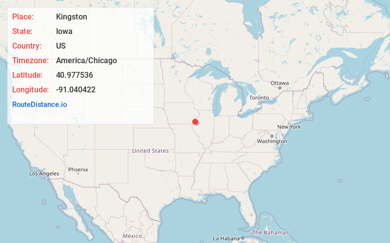
Full AddressKingston, IA 52637
-
Coordinates40.9775364, -91.0404222
-
LocationKingston , Iowa , US
-
TimezoneAmerica/Chicago
-
Current Local Time2:58:22 PM America/ChicagoThursday, June 19, 2025
-
Page Views0
About Kingston
Kingston is an unincorporated community and census-designated place in Des Moines County, Iowa, United States. It is part of the Burlington, IA–IL Micropolitan Statistical Area. Kingston is located along State Highway 99, approximately 15 miles north of Burlington.
Nearby Places
Found 10 places within 50 miles

Oquawka
5.8 mi
9.3 km
Oquawka, IL 61469
Get directions

Sperry
6.2 mi
10.0 km
Sperry, IA 52650
Get directions
Mediapolis
6.8 mi
10.9 km
Mediapolis, IA 52637
Get directions

Oakville
8.4 mi
13.5 km
Oakville, IA 52646
Get directions
Gladstone
8.8 mi
14.2 km
Gladstone, IL 61437
Get directions

Keithsburg
9.8 mi
15.8 km
Keithsburg, IL 61442
Get directions

West Burlington
12.2 mi
19.6 km
West Burlington, IA
Get directions

Burlington
12.3 mi
19.8 km
Burlington, IA
Get directions

Biggsville
12.5 mi
20.1 km
Biggsville, IL 61418
Get directions
New Boston
13.5 mi
21.7 km
New Boston, IL 61272
Get directions
Location Links
Local Weather
Weather Information
Coming soon!
Location Map
Static map view of Kingston, Iowa
Browse Places by Distance
Places within specific distances from Kingston
Short Distances
Long Distances
Click any distance to see all places within that range from Kingston. Distances shown in miles (1 mile ≈ 1.61 kilometers).