Distance to Kismet, Kansas

Calculating Your Route
Just a moment while we process your request...
Location Information
-
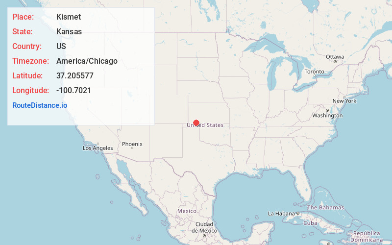
Full AddressKismet, KS 67859
-
Coordinates37.2055766, -100.7021002
-
LocationKismet , Kansas , US
-
TimezoneAmerica/Chicago
-
Current Local Time9:23:45 PM America/ChicagoWednesday, June 18, 2025
-
Page Views0
About Kismet
Kismet is a city in Seward County, Kansas, United States. As of the 2020 census, the population of the city was 340. It is located along U.S. Route 54 highway.


Nearby Places
Found 10 places within 50 miles

Plains
7.1 mi
11.4 km
Plains, KS 67869
Get directions

Liberal
16.5 mi
26.6 km
Liberal, KS 67901
Get directions

Sublette
20.6 mi
33.2 km
Sublette, KS 67877
Get directions

Meade
20.7 mi
33.3 km
Meade, KS 67864
Get directions

Satanta
22.4 mi
36.0 km
Satanta, KS 67870
Get directions

Tyrone
26.5 mi
42.6 km
Tyrone, OK 73951
Get directions
Beaver
28.7 mi
46.2 km
Beaver, OK 73932
Get directions
Montezuma
30.5 mi
49.1 km
Montezuma, KS 67867
Get directions
Fowler
30.5 mi
49.1 km
Fowler, KS 67844
Get directions

Hugoton
35.7 mi
57.5 km
Hugoton, KS 67951
Get directions
Location Links
Local Weather
Weather Information
Coming soon!
Location Map
Static map view of Kismet, Kansas
Browse Places by Distance
Places within specific distances from Kismet
Short Distances
Long Distances
Click any distance to see all places within that range from Kismet. Distances shown in miles (1 mile ≈ 1.61 kilometers).