Distance to Kitimat-Stikine, British Columbia

Calculating Your Route
Just a moment while we process your request...
Location Information
-
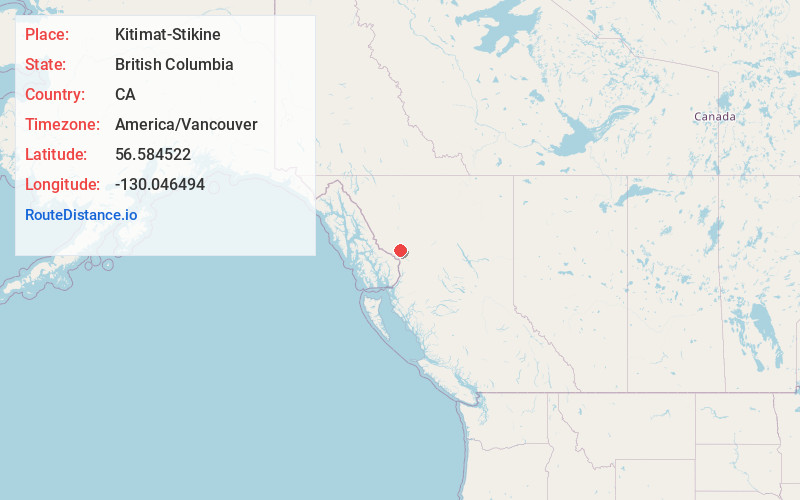
Full AddressKitimat-Stikine, BC, Canada
-
Coordinates56.5845216, -130.0464937
-
LocationKitimat-Stikine , British Columbia , CA
-
TimezoneAmerica/Vancouver
-
Current Local Time12:36:52 AM America/VancouverSaturday, May 31, 2025
-
Page Views0
About Kitimat-Stikine
The Regional District of Kitimat–Stikine is a local government administration in northwestern British Columbia, Canada. As of the 2021 Canadian census, it had a population of 37,790 living on a land area of 104,307.25 km². Its administrative offices are in the city of Terrace.


Nearby Places
Found 1 places within 50 miles

Location Links
Local Weather
Weather Information
Coming soon!
Location Map
Static map view of Kitimat-Stikine, British Columbia
Browse Places by Distance
Places within specific distances from Kitimat-Stikine
Short Distances
Long Distances
Click any distance to see all places within that range from Kitimat-Stikine. Distances shown in miles (1 mile ≈ 1.61 kilometers).