Distance to Klondyke, Minnesota

Calculating Your Route
Just a moment while we process your request...
Location Information
-
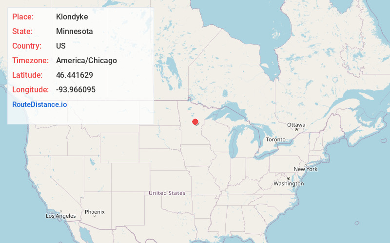
Full AddressKlondyke, MN 56455
-
Coordinates46.4416293, -93.9660951
-
LocationKlondyke , Minnesota , US
-
TimezoneAmerica/Chicago
-
Current Local Time3:31:48 PM America/ChicagoWednesday, June 18, 2025
-
Page Views0
About Klondyke
Klondyke is an unincorporated community in Irondale Township, Crow Wing County, Minnesota, United States. The community lies just south of County Route 12 and on the north shore of Lookout Lake. It lies approximately three miles south of Crosby and Ironton.
Nearby Places
Found 10 places within 50 miles

Ironton
2.5 mi
4.0 km
Ironton, MN
Get directions

Crosby
2.8 mi
4.5 km
Crosby, MN 56441
Get directions

Deerwood
3.8 mi
6.1 km
Deerwood, MN 56444
Get directions

Riverton
4.3 mi
6.9 km
Riverton, MN 56455
Get directions

Trommald
5.0 mi
8.0 km
Trommald, MN
Get directions

Cuyuna
5.6 mi
9.0 km
Cuyuna, MN
Get directions

Merrifield
9.9 mi
15.9 km
Merrifield, MN
Get directions

Garrison
12.1 mi
19.5 km
Garrison, MN
Get directions

Brainerd
12.8 mi
20.6 km
Brainerd, MN 56401
Get directions

Aitkin
13.7 mi
22.0 km
Aitkin, MN 56431
Get directions
Location Links
Local Weather
Weather Information
Coming soon!
Location Map
Static map view of Klondyke, Minnesota
Browse Places by Distance
Places within specific distances from Klondyke
Short Distances
Long Distances
Click any distance to see all places within that range from Klondyke. Distances shown in miles (1 mile ≈ 1.61 kilometers).