Distance to Knob Fork, West Virginia

Calculating Your Route
Just a moment while we process your request...
Location Information
-
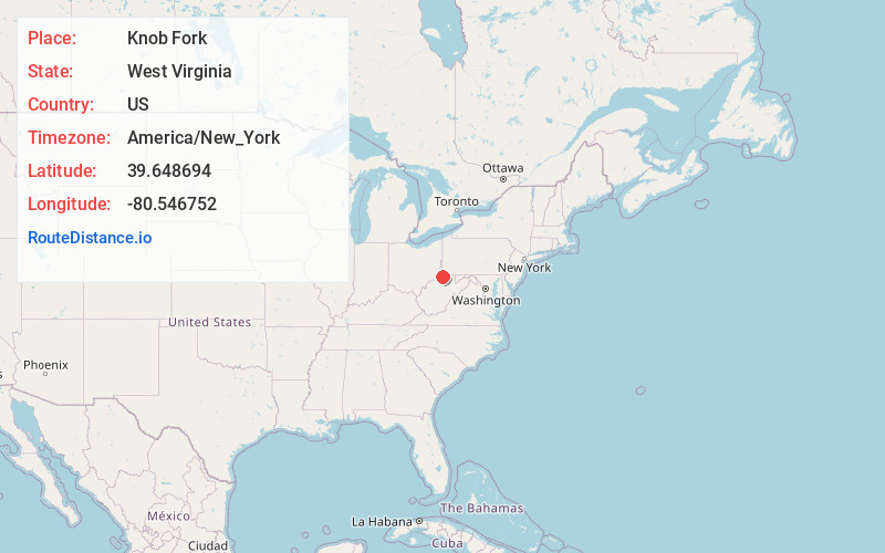
Full AddressKnob Fork, WV 26581
-
Coordinates39.6486937, -80.5467517
-
LocationKnob Fork , West Virginia , US
-
TimezoneAmerica/New_York
-
Current Local Time9:39:04 AM America/New_YorkTuesday, June 24, 2025
-
Page Views0
About Knob Fork
Knob Fork is a diffuse, unincorporated hamlet in Wetzel County, West Virginia, United States. It lies at an elevation of 1,050 feet. Its only business or service is a wholesale nursery. Other names for the community have included Geaneytown, Jolliff, Jolliffe, Jolliffes Store, Knobfork Store, Sugar Run, and Uniontown.
Nearby Places
Found 10 places within 50 miles

Kodol
1.8 mi
2.9 km
Kodol, WV 26582
Get directions
Wheat
3.0 mi
4.8 km
Wheat, WV 26581
Get directions
Sincerity
3.4 mi
5.5 km
Sincerity, WV 26582
Get directions
Littleton
3.7 mi
6.0 km
Littleton, WV 26581
Get directions
Burchfield
4.3 mi
6.9 km
Burchfield, WV 26582
Get directions
Hundred
5.3 mi
8.5 km
Hundred, WV
Get directions
Bannen
5.9 mi
9.5 km
Bannen, WV 26033
Get directions
Barker
7.7 mi
12.4 km
Barker, WV 26419
Get directions
Deep Valley
8.4 mi
13.5 km
Deep Valley, Springhill Township, PA 15352
Get directions
Pine Grove
9.1 mi
14.6 km
Pine Grove, WV 26419
Get directions
Location Links
Local Weather
Weather Information
Coming soon!
Location Map
Static map view of Knob Fork, West Virginia
Browse Places by Distance
Places within specific distances from Knob Fork
Short Distances
Long Distances
Click any distance to see all places within that range from Knob Fork. Distances shown in miles (1 mile ≈ 1.61 kilometers).