Distance to Knott, Texas

Calculating Your Route
Just a moment while we process your request...
Location Information
-
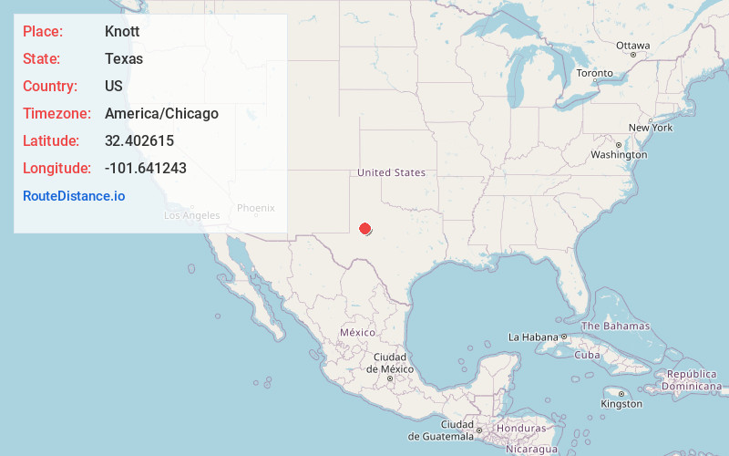
Full AddressKnott, TX 79748
-
Coordinates32.4026147, -101.6412428
-
LocationKnott , Texas , US
-
TimezoneAmerica/Chicago
-
Current Local Time12:42:49 PM America/ChicagoTuesday, June 10, 2025
-
Page Views0
About Knott
Knott is an unincorporated community in northwestern Howard County, Texas, United States. It lies along FM 846 northwest of the city of Big Spring, the county seat of Howard County. Its elevation is 2,612 feet. Although Knott is unincorporated, it has a post office, with the ZIP code of 79748.
Nearby Places
Found 10 places within 50 miles

Ackerly
9.6 mi
15.4 km
Ackerly, TX 79713
Get directions

Big Spring
14.3 mi
23.0 km
Big Spring, TX 79720
Get directions
Howard County
14.5 mi
23.3 km
Howard County, TX
Get directions

Morita
15.1 mi
24.3 km
Morita, TX 79720
Get directions
Ziler
16.4 mi
26.4 km
Ziler, TX 79720
Get directions
Three Leagues
20.3 mi
32.7 km
Three Leagues, TX 79331
Get directions

Tarzan
20.6 mi
33.2 km
Tarzan, TX 79783
Get directions

Stanton
20.8 mi
33.5 km
Stanton, TX 79782
Get directions

Coahoma
20.9 mi
33.6 km
Coahoma, TX
Get directions
Lees
24.3 mi
39.1 km
Lees, TX 79720
Get directions
Location Links
Local Weather
Weather Information
Coming soon!
Location Map
Static map view of Knott, Texas
Browse Places by Distance
Places within specific distances from Knott
Short Distances
Long Distances
Click any distance to see all places within that range from Knott. Distances shown in miles (1 mile ≈ 1.61 kilometers).