Distance to Knoxville, Missouri

Calculating Your Route
Just a moment while we process your request...
Location Information
-
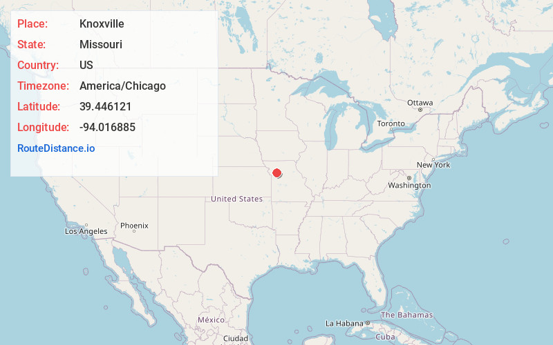
Full AddressKnoxville, MO 64084
-
Coordinates39.4461207, -94.0168846
-
LocationKnoxville , Missouri , US
-
TimezoneAmerica/Chicago
-
Current Local Time11:22:06 AM America/ChicagoSaturday, May 31, 2025
-
Page Views0
About Knoxville
Knoxville is an unincorporated rural village in north central Ray County, in the U.S. state of Missouri and part of the Kansas City metropolitan area.
The community is at the intersection of Missouri Route 13 and Missouri Route HH.
Nearby Places
Found 10 places within 50 miles

Taitsville
4.1 mi
6.6 km
Taitsville, Knoxville Township, MO 64637
Get directions
Georgeville
6.7 mi
10.8 km
Georgeville, Grape Grove Township, MO 64637
Get directions
Rayville
7.2 mi
11.6 km
Rayville, MO 64084
Get directions

Polo
7.4 mi
11.9 km
Polo, MO 64671
Get directions
Vibbard
8.0 mi
12.9 km
Vibbard, MO
Get directions
Elmira
8.5 mi
13.7 km
Elmira, MO 64062
Get directions

Cowgill
9.2 mi
14.8 km
Cowgill, MO 64637
Get directions

Lawson
10.0 mi
16.1 km
Lawson, MO 64062
Get directions
Wood Heights
10.7 mi
17.2 km
Wood Heights, MO 64024
Get directions
Excelsior Estates
10.9 mi
17.5 km
Excelsior Estates, MO
Get directions
Location Links
Local Weather
Weather Information
Coming soon!
Location Map
Static map view of Knoxville, Missouri
Browse Places by Distance
Places within specific distances from Knoxville
Short Distances
Long Distances
Click any distance to see all places within that range from Knoxville. Distances shown in miles (1 mile ≈ 1.61 kilometers).