Distance to Kolberg, Wisconsin

Calculating Your Route
Just a moment while we process your request...
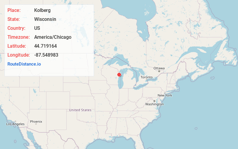
Location Information
-
Full AddressKolberg, Brussels, WI 54213
-
Coordinates44.7191641, -87.5489832
-
LocationBrussels , Wisconsin , US
-
TimezoneAmerica/Chicago
-
Current Local Time11:58:34 AM America/ChicagoSaturday, May 31, 2025
-
Page Views0
About Kolberg
Kolberg is an unincorporated community in the town of Brussels, in southern Door County, Wisconsin. County Road D connects the community to Forestville and to Brussels. Kolberg came to be in 1893 when Conrad Guth built his store and creamery on the corner where the present creamery now stands.
Nearby Places
Found 10 places within 50 miles

Forestville
4.0 mi
6.4 km
Forestville, WI 54213
Get directions

Little Sturgeon Bay
8.4 mi
13.5 km
Little Sturgeon Bay, Gardner, WI
Get directions

Algoma
9.5 mi
15.3 km
Algoma, WI 54201
Get directions

Sturgeon Bay
11.6 mi
18.7 km
Sturgeon Bay, WI 54235
Get directions
Casco
11.7 mi
18.8 km
Casco, WI 54205
Get directions
Dyckesville
11.9 mi
19.2 km
Dyckesville, WI
Get directions

Luxemburg
14.6 mi
23.5 km
Luxemburg, WI 54217
Get directions
Point Comfort
16.6 mi
26.7 km
Point Comfort, Scott, WI
Get directions

Kewaunee
18.2 mi
29.3 km
Kewaunee, WI 54216
Get directions

Oconto
19.3 mi
31.1 km
Oconto, WI 54153
Get directions
Location Links
Local Weather
Weather Information
Coming soon!
Location Map
Static map view of Kolberg, Wisconsin
Browse Places by Distance
Places within specific distances from Kolberg
Short Distances
Long Distances
Click any distance to see all places within that range from Kolberg. Distances shown in miles (1 mile ≈ 1.61 kilometers).