Distance to Koloa, Hawaii

Calculating Your Route
Just a moment while we process your request...
Location Information
-
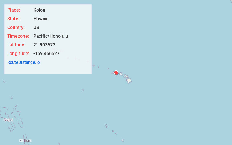
Full AddressKoloa, HI 96756
-
Coordinates21.9036732, -159.4666268
-
LocationKoloa , Hawaii , US
-
TimezonePacific/Honolulu
-
Current Local Time6:58:23 AM Pacific/HonoluluWednesday, June 18, 2025
-
Page Views0
About Koloa
Kōloa is an unincorporated community and census-designated place in Kauaʻi County, Hawaiʻi, United States. The population was 2,231 at the 2020 census, up from 1,942 at the 2000 census. The first successful sugarcane plantation in the Hawaiian Islands was started here in 1835. It became a part of Grove Farm in 1948.


Nearby Places
Found 9 places within 50 miles

Lawai
3.1 mi
5.0 km
Lawai, HI
Get directions

Kalaheo
4.2 mi
6.8 km
Kalaheo, HI 96741
Get directions
Puhi
6.3 mi
10.1 km
Puhi, HI 96766
Get directions

Hanamaulu
9.5 mi
15.3 km
Hanamaulu, HI 96766
Get directions

Wailua Homesteads
12.0 mi
19.3 km
Wailua Homesteads, HI 96746
Get directions

Wailua
13.4 mi
21.6 km
Wailua, HI 96746
Get directions

Kapaʻa
16.0 mi
25.7 km
Kapaʻa, HI 96746
Get directions

Kekaha
16.6 mi
26.7 km
Kekaha, HI
Get directions

Anahola
19.4 mi
31.2 km
Anahola, HI 96703
Get directions
Location Links
Local Weather
Weather Information
Coming soon!
Location Map
Static map view of Koloa, Hawaii
Browse Places by Distance
Places within specific distances from Koloa
Short Distances
Long Distances
Click any distance to see all places within that range from Koloa. Distances shown in miles (1 mile ≈ 1.61 kilometers).