Distance to Kongiganak, Alaska

Calculating Your Route
Just a moment while we process your request...
Location Information
-
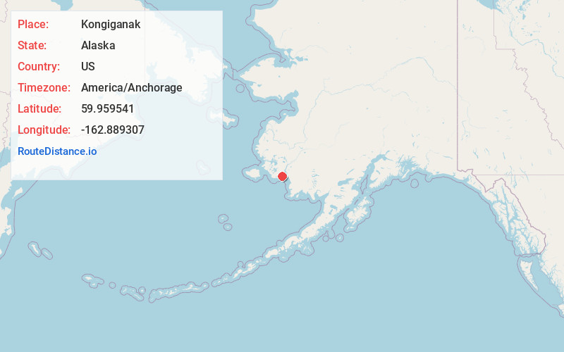
Full AddressKongiganak, AK
-
Coordinates59.9595406, -162.8893068
-
LocationKongiganak , Alaska , US
-
TimezoneAmerica/Anchorage
-
Current Local Time5:23:29 PM America/AnchorageTuesday, May 20, 2025
-
Page Views0
About Kongiganak
Kongiganak is a census-designated place in Bethel Census Area, Alaska, United States, and primarily sits on the eastern shore of the Kongiganak River. As of the 2020 census, the population was 486, up from 439 in 2010.
Nearby Places
Found 6 places within 50 miles

Kwigillingok
11.2 mi
18.0 km
Kwigillingok, AK
Get directions
Tuntutuliak
27.5 mi
44.3 km
Tuntutuliak, AK 99680
Get directions

Eek
34.6 mi
55.7 km
Eek, AK
Get directions

Quinhagak
37.2 mi
59.9 km
Quinhagak, AK
Get directions
Kipnuk
39.9 mi
64.2 km
Kipnuk, AK
Get directions
Chefornak
50.0 mi
80.5 km
Chefornak, AK
Get directions
Location Links
Local Weather
Weather Information
Coming soon!
Location Map
Static map view of Kongiganak, Alaska
Browse Places by Distance
Places within specific distances from Kongiganak
Short Distances
Long Distances
Click any distance to see all places within that range from Kongiganak. Distances shown in miles (1 mile ≈ 1.61 kilometers).