Distance to Krain, Washington

Calculating Your Route
Just a moment while we process your request...
Location Information
-
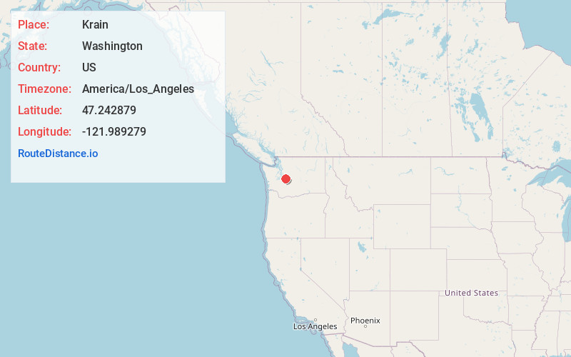
Full AddressKrain, WA 98022
-
Coordinates47.2428789, -121.9892785
-
LocationKrain , Washington , US
-
TimezoneAmerica/Los_Angeles
-
Current Local Time11:07:51 AM America/Los_AngelesTuesday, June 24, 2025
-
Page Views0
About Krain
Krain was an unincorporated community in south King County, Washington, just north of Enumclaw. The area now centers on the intersection of SR 169 and SE 400th St. An inn and restaurant has been located at the corner since 1916, and the nearby Holy Family Krain Cemetery dates back to at least 1901.
Nearby Places
Found 10 places within 50 miles

Enumclaw
2.7 mi
4.3 km
Enumclaw, WA 98022
Get directions

Naco
3.7 mi
6.0 km
Naco, WA 98022
Get directions

Cumberland
4.0 mi
6.4 km
Cumberland, WA 98022
Get directions
Upper Mill
4.5 mi
7.2 km
Upper Mill, WA 98022
Get directions

Black Diamond
4.6 mi
7.4 km
Black Diamond, WA
Get directions
Bayne
5.2 mi
8.4 km
Bayne, WA 98022
Get directions

Buckley
5.8 mi
9.3 km
Buckley, WA
Get directions
Lake Holm
8.0 mi
12.9 km
Lake Holm, WA 98092
Get directions

Ravensdale
8.0 mi
12.9 km
Ravensdale, WA 98051
Get directions
Prairie Heights
8.3 mi
13.4 km
Prairie Heights, WA
Get directions
Location Links
Local Weather
Weather Information
Coming soon!
Location Map
Static map view of Krain, Washington
Browse Places by Distance
Places within specific distances from Krain
Short Distances
Long Distances
Click any distance to see all places within that range from Krain. Distances shown in miles (1 mile ≈ 1.61 kilometers).