Distance to Kustatan, Alaska

Calculating Your Route
Just a moment while we process your request...
Location Information
-
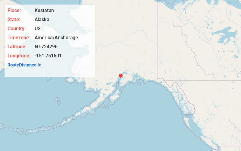
Full AddressKustatan, AK 99682
-
Coordinates60.7242964, -151.7516012
-
LocationKustatan , Alaska , US
-
TimezoneAmerica/Anchorage
-
Current Local Time1:32:06 AM America/AnchorageWednesday, June 18, 2025
-
Page Views0

Nearby Places
Found 10 places within 50 miles

Nikishka
11.9 mi
19.2 km
Nikishka, Nikiski, AK 99611
Get directions
Port Nikiski
12.9 mi
20.8 km
Port Nikiski, Nikiski, AK 99611
Get directions
Salamatof
16.0 mi
25.7 km
Salamatof, AK 99611
Get directions

Nikiski
16.5 mi
26.6 km
Nikiski, AK 99611
Get directions

Kenai
20.4 mi
32.8 km
Kenai, AK
Get directions

Kalifornsky
26.0 mi
41.8 km
Kalifornsky, AK
Get directions

Ridgeway
27.3 mi
43.9 km
Ridgeway, AK
Get directions

Cohoe
28.4 mi
45.7 km
Cohoe, AK
Get directions

Soldotna
28.7 mi
46.2 km
Soldotna, AK 99669
Get directions

Tyonek
31.4 mi
50.5 km
Tyonek, AK 99682
Get directions
Location Links
Local Weather
Weather Information
Coming soon!
Location Map
Static map view of Kustatan, Alaska
Browse Places by Distance
Places within specific distances from Kustatan
Short Distances
Long Distances
Click any distance to see all places within that range from Kustatan. Distances shown in miles (1 mile ≈ 1.61 kilometers).