Distance to La Cresta, California

Calculating Your Route
Just a moment while we process your request...
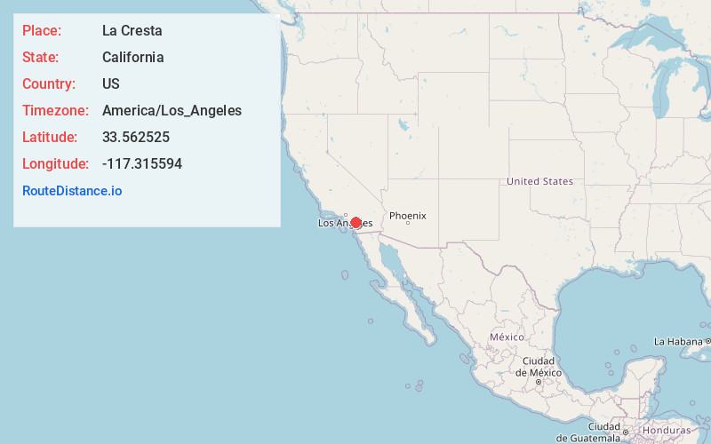
Location Information
-
Full AddressLa Cresta, CA 92562
-
Coordinates33.5625245, -117.3155937
-
LocationLa Cresta , California , US
-
TimezoneAmerica/Los_Angeles
-
Current Local Time1:29:04 AM America/Los_AngelesFriday, June 13, 2025
-
Page Views0
About La Cresta
La Cresta is an unincorporated community in the Santa Rosa Plateau region in Riverside County, California, United States. It is situated west of Murrieta, north of Temecula and the San Diego County Border, and east of Orange County.


Nearby Places
Found 10 places within 50 miles

Wildomar
3.2 mi
5.1 km
Wildomar, CA
Get directions

Lakeland Village
5.5 mi
8.9 km
Lakeland Village, CA 92530
Get directions

Murrieta
6.1 mi
9.8 km
Murrieta, CA
Get directions

Lake Elsinore
7.3 mi
11.7 km
Lake Elsinore, CA
Get directions

Canyon Lake
8.8 mi
14.2 km
Canyon Lake, CA 92587
Get directions

Temecula
10.7 mi
17.2 km
Temecula, CA
Get directions

Menifee
11.9 mi
19.2 km
Menifee, CA
Get directions

Good Hope Mine
12.3 mi
19.8 km
Good Hope Mine, Meadowbrook, CA 92570
Get directions

French Valley
12.3 mi
19.8 km
French Valley, CA
Get directions

Fallbrook
13.4 mi
21.6 km
Fallbrook, CA 92028
Get directions
Location Links
Local Weather
Weather Information
Coming soon!
Location Map
Static map view of La Cresta, California
Browse Places by Distance
Places within specific distances from La Cresta
Short Distances
Long Distances
Click any distance to see all places within that range from La Cresta. Distances shown in miles (1 mile ≈ 1.61 kilometers).