Distance to La Crosse, Kansas

Calculating Your Route
Just a moment while we process your request...
Location Information
-
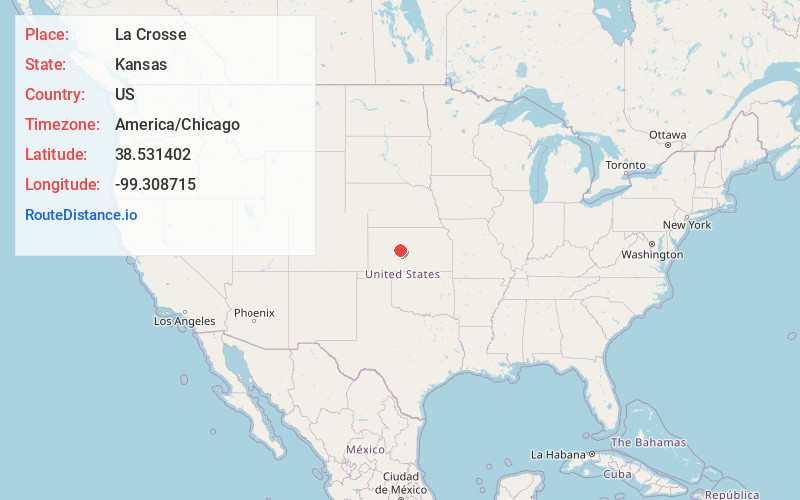
Full AddressLa Crosse, KS 67548
-
Coordinates38.5314022, -99.3087154
-
LocationLa Crosse , Kansas , US
-
TimezoneAmerica/Chicago
-
Current Local Time11:15:24 PM America/ChicagoTuesday, May 20, 2025
-
Website
-
Page Views0
About La Crosse
La Crosse is a city in and the county seat of Rush County, Kansas, United States. As of the 2020 census, the population of the city was 1,266. La Crosse proclaims itself the "Barbed Wire capital of the world.

Nearby Places
Found 10 places within 50 miles

Hays
23.8 mi
38.3 km
Hays, KS 67601
Get directions

Larned
26.8 mi
43.1 km
Larned, KS 67550
Get directions

Hoisington
28.7 mi
46.2 km
Hoisington, KS 67544
Get directions

Ellis
31.2 mi
50.2 km
Ellis, KS 67637
Get directions

Great Bend
31.6 mi
50.9 km
Great Bend, KS 67530
Get directions

Ness City
32.8 mi
52.8 km
Ness City, KS 67560
Get directions

Russell
34.9 mi
56.2 km
Russell, KS 67665
Get directions

Ellinwood
41.2 mi
66.3 km
Ellinwood, KS
Get directions

Kinsley
42.4 mi
68.2 km
Kinsley, KS 67547
Get directions

WaKeeney
45.9 mi
73.9 km
WaKeeney, KS 67672
Get directions
Location Links
Local Weather
Weather Information
Coming soon!
Location Map
Static map view of La Crosse, Kansas
Browse Places by Distance
Places within specific distances from La Crosse
Short Distances
Long Distances
Click any distance to see all places within that range from La Crosse. Distances shown in miles (1 mile ≈ 1.61 kilometers).