Distance to La Cueva, New Mexico

Calculating Your Route
Just a moment while we process your request...
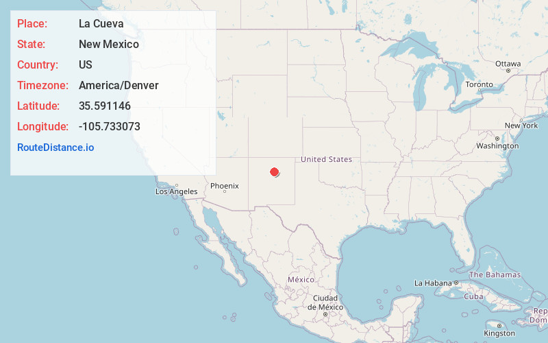
Location Information
-
Full AddressLa Cueva, NM 87535
-
Coordinates35.5911463, -105.7330725
-
LocationLa Cueva , New Mexico , US
-
TimezoneAmerica/Denver
-
Current Local Time7:14:25 AM America/DenverSaturday, June 21, 2025
-
Page Views0
About La Cueva
La Cueva is an unincorporated community in Santa Fe County, New Mexico, United States. The community is 2.2 miles east-northeast of Glorieta.

Nearby Places
Found 10 places within 50 miles

Eldorado at Santa Fe
12.2 mi
19.6 km
Eldorado at Santa Fe, NM
Get directions

Santa Fe
13.4 mi
21.6 km
Santa Fe, NM
Get directions

Tesuque
16.3 mi
26.2 km
Tesuque, NM
Get directions

Agua Fria
16.8 mi
27.0 km
Agua Fria, NM 87507
Get directions

San Jose
19.8 mi
31.9 km
San Jose, NM 87565
Get directions

La Cienega
22.4 mi
36.0 km
La Cienega, NM 87507
Get directions

Pojoaque
26.4 mi
42.5 km
Pojoaque, NM 87506
Get directions

Las Vegas
28.7 mi
46.2 km
Las Vegas, NM 87701
Get directions

El Rancho
28.7 mi
46.2 km
El Rancho, NM 87506
Get directions

San Ildefonso Pueblo
30.0 mi
48.3 km
San Ildefonso Pueblo, NM 87506
Get directions
Location Links
Local Weather
Weather Information
Coming soon!
Location Map
Static map view of La Cueva, New Mexico
Browse Places by Distance
Places within specific distances from La Cueva
Short Distances
Long Distances
Click any distance to see all places within that range from La Cueva. Distances shown in miles (1 mile ≈ 1.61 kilometers).