Distance to La Grange, Missouri

Calculating Your Route
Just a moment while we process your request...
Location Information
-
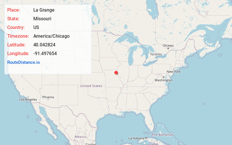
Full AddressLa Grange, MO 63448
-
Coordinates40.0428236, -91.4976544
-
LocationLa Grange , Missouri , US
-
TimezoneAmerica/Chicago
-
Current Local Time9:44:49 AM America/ChicagoFriday, June 6, 2025
-
Page Views0
About La Grange
La Grange is a city in Lewis County, Missouri, United States. The population was 825 at the 2020 census. Since the 1960 census, the population has been dwindling. It is part of the Quincy, IL–MO Micropolitan Statistical Area.


Nearby Places
Found 10 places within 50 miles

Canton
6.1 mi
9.8 km
Canton, MO 63435
Get directions

Quincy
8.7 mi
14.0 km
Quincy, IL
Get directions

Mendon
11.7 mi
18.8 km
Mendon, IL 62351
Get directions

Palmyra
17.2 mi
27.7 km
Palmyra, MO 63461
Get directions

Payson
20.7 mi
33.3 km
Payson, IL
Get directions
Warsaw
22.1 mi
35.6 km
Warsaw, IL 62379
Get directions
La Belle
22.5 mi
36.2 km
La Belle, MO 63447
Get directions
Camp Point
22.7 mi
36.5 km
Camp Point, IL 62320
Get directions

Hannibal
24.3 mi
39.1 km
Hannibal, MO 63401
Get directions

Keokuk
25.6 mi
41.2 km
Keokuk, IA 52632
Get directions
Location Links
Local Weather
Weather Information
Coming soon!
Location Map
Static map view of La Grange, Missouri
Browse Places by Distance
Places within specific distances from La Grange
Short Distances
Long Distances
Click any distance to see all places within that range from La Grange. Distances shown in miles (1 mile ≈ 1.61 kilometers).