Distance to La Grange, California

Calculating Your Route
Just a moment while we process your request...
Location Information
-
Full AddressLa Grange, CA 95329
-
Coordinates37.6636529, -120.4623553
-
LocationLa Grange , California , US
-
TimezoneAmerica/Los_Angeles
-
Current Local Time9:51:35 PM America/Los_AngelesSunday, June 1, 2025
-
Page Views0
About La Grange
La Grange is a small unincorporated community and census-designated place in rural Stanislaus County, California. Its altitude is 259 feet. As of 2020 it has a population of 166. It is located along the Tuolumne River, and is near the La Grange Dam and the New Don Pedro Dam.


Nearby Places
Found 10 places within 50 miles

Lake Don Pedro
7.0 mi
11.3 km
Lake Don Pedro, CA
Get directions

Snelling
10.1 mi
16.3 km
Snelling, CA 95369
Get directions

Hickman
16.2 mi
26.1 km
Hickman, CA 95323
Get directions

Waterford
16.4 mi
26.4 km
Waterford, CA
Get directions

Groveland
17.5 mi
28.2 km
Groveland, CA
Get directions
Greeley Hill
19.0 mi
30.6 km
Greeley Hill, CA
Get directions

Ballico
19.6 mi
31.5 km
Ballico, CA 95303
Get directions

Jamestown
20.1 mi
32.3 km
Jamestown, CA
Get directions

Cressey
20.2 mi
32.5 km
Cressey, CA
Get directions

East Oakdale
20.5 mi
33.0 km
East Oakdale, CA 95361
Get directions
Location Links
Local Weather
Weather Information
Coming soon!
Location Map
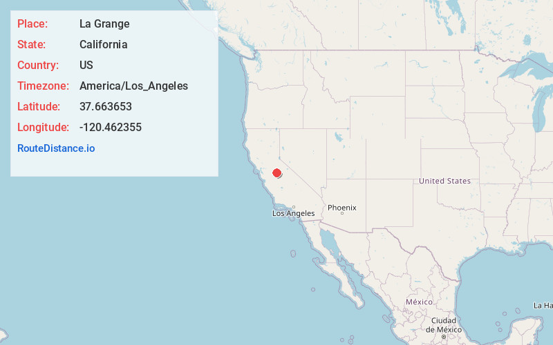
Static map view of La Grange, California
Browse Places by Distance
Places within specific distances from La Grange
Short Distances
Long Distances
Click any distance to see all places within that range from La Grange. Distances shown in miles (1 mile ≈ 1.61 kilometers).