Distance to Labette, Kansas

Calculating Your Route
Just a moment while we process your request...
Location Information
-
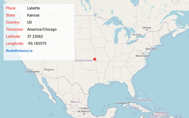
Full AddressLabette, KS 67356
-
Coordinates37.2306195, -95.1835788
-
LocationLabette , Kansas , US
-
TimezoneAmerica/Chicago
-
Current Local Time7:37:12 PM America/ChicagoTuesday, June 3, 2025
-
Page Views0
About Labette
Labette is a city in Labette County, Kansas, United States. As of the 2020 census, the population of the city was 50.
Nearby Places
Found 10 places within 50 miles

Oswego
5.9 mi
9.5 km
Oswego, KS
Get directions

Altamont
6.8 mi
10.9 km
Altamont, KS 67330
Get directions

Parsons
8.7 mi
14.0 km
Parsons, KS
Get directions

Hallowell
11.0 mi
17.7 km
Hallowell, KS 66725
Get directions
Bartlett
12.2 mi
19.6 km
Bartlett, KS 67332
Get directions

Mound Valley
12.3 mi
19.8 km
Mound Valley, KS 67354
Get directions
McCune
12.6 mi
20.3 km
McCune, KS 66753
Get directions

Chetopa
14.3 mi
23.0 km
Chetopa, KS 67336
Get directions

West Mineral
14.8 mi
23.8 km
West Mineral, KS
Get directions
Dennis
14.9 mi
24.0 km
Dennis, KS
Get directions
Location Links
Local Weather
Weather Information
Coming soon!
Location Map
Static map view of Labette, Kansas
Browse Places by Distance
Places within specific distances from Labette
Short Distances
Long Distances
Click any distance to see all places within that range from Labette. Distances shown in miles (1 mile ≈ 1.61 kilometers).