Distance to Labuco, Alabama

Calculating Your Route
Just a moment while we process your request...
Location Information
-
Full AddressLabuco, AL 35130
-
Coordinates33.6095515, -87.0891642
-
LocationAlabama , US
-
TimezoneAmerica/Chicago
-
Current Local Time7:20:32 AM America/ChicagoFriday, May 23, 2025
-
Page Views0
Nearby Places
Found 10 places within 50 miles

Praco
1.4 mi
2.3 km
Praco, AL 35130
Get directions
Quintown
1.9 mi
3.1 km
Quintown, AL 35130
Get directions
Wegra
1.9 mi
3.1 km
Wegra, AL 35130
Get directions
Flat Creek
2.4 mi
3.9 km
Flat Creek, AL 35130
Get directions
West Jefferson
3.0 mi
4.8 km
West Jefferson, AL
Get directions
Twilley Town
3.7 mi
6.0 km
Twilley Town, AL 35130
Get directions
Maxine
4.1 mi
6.6 km
Maxine, AL 35130
Get directions
Pumpkin Center
4.3 mi
6.9 km
Pumpkin Center, AL 35130
Get directions
Quinton
4.5 mi
7.2 km
Quinton, AL
Get directions
Snowtown
4.7 mi
7.6 km
Snowtown, AL 35062
Get directions
Location Links
Local Weather
Weather Information
Coming soon!
Location Map
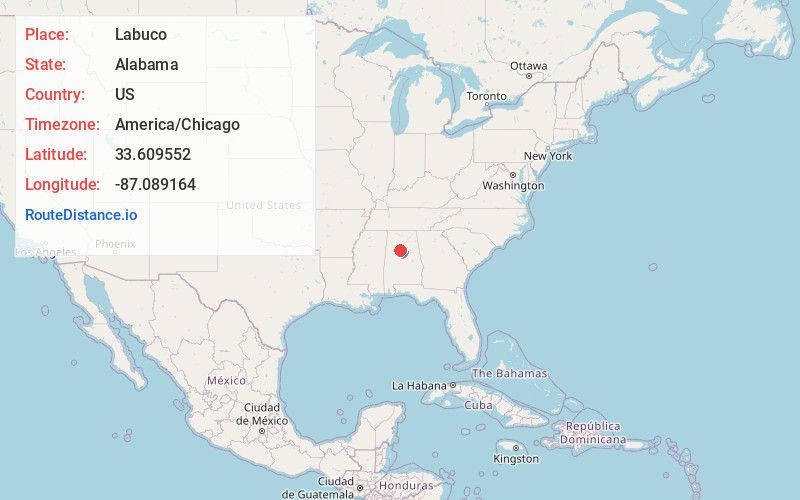
Static map view of Labuco, Alabama
Browse Places by Distance
Places within specific distances from Labuco
Short Distances
Long Distances
Click any distance to see all places within that range from Labuco. Distances shown in miles (1 mile ≈ 1.61 kilometers).