Distance to Laclede, Idaho

Calculating Your Route
Just a moment while we process your request...
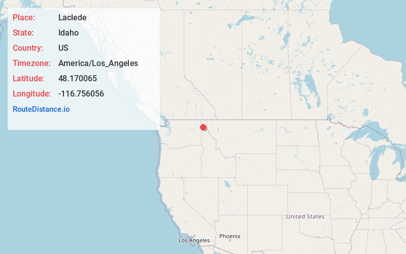
Location Information
-
Full AddressLaclede, ID
-
Coordinates48.1700654, -116.7560563
-
LocationLaclede , Idaho , US
-
TimezoneAmerica/Los_Angeles
-
Current Local Time9:17:28 AM America/Los_AngelesFriday, June 20, 2025
-
Page Views0
About Laclede
Laclede is an unincorporated community in Bonner County, Idaho, United States. Laclede is located on U.S. Route 2 at the intersection of Riley Creek and the Pend Oreille River. Laclede has a post office with ZIP code 83841.
Laclede is surrounded by forested lands.


Nearby Places
Found 10 places within 50 miles

Priest River
7.1 mi
11.4 km
Priest River, ID 83856
Get directions

Dover
8.9 mi
14.3 km
Dover, ID
Get directions

Sandpoint
11.9 mi
19.2 km
Sandpoint, ID 83864
Get directions

Oldtown
13.0 mi
20.9 km
Oldtown, ID 83822
Get directions

Newport
13.3 mi
21.4 km
Newport, WA 99156
Get directions

Ponderay
13.9 mi
22.4 km
Ponderay, ID
Get directions

Kootenai
14.8 mi
23.8 km
Kootenai, ID
Get directions

Blanchard
14.9 mi
24.0 km
Blanchard, ID 83804
Get directions

Spirit Lake
15.0 mi
24.1 km
Spirit Lake, ID 83869
Get directions

Athol
15.5 mi
24.9 km
Athol, ID 83801
Get directions
Location Links
Local Weather
Weather Information
Coming soon!
Location Map
Static map view of Laclede, Idaho
Browse Places by Distance
Places within specific distances from Laclede
Short Distances
Long Distances
Click any distance to see all places within that range from Laclede. Distances shown in miles (1 mile ≈ 1.61 kilometers).