Distance to Laclede, Missouri

Calculating Your Route
Just a moment while we process your request...
Location Information
-
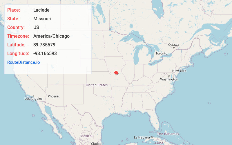
Full AddressLaclede, MO 64651
-
Coordinates39.7855793, -93.1665932
-
LocationLaclede , Missouri , US
-
TimezoneAmerica/Chicago
-
Current Local Time4:17:39 PM America/ChicagoWednesday, June 18, 2025
-
Page Views0
About Laclede
Laclede is a city in Linn County, Missouri. The population was 305 at the 2020 census, down from 345 in 2010.


Nearby Places
Found 10 places within 50 miles

Brookfield
4.9 mi
7.9 km
Brookfield, MO 64628
Get directions

Meadville
7.2 mi
11.6 km
Meadville, MO 64659
Get directions

Marceline
12.7 mi
20.4 km
Marceline, MO 64658
Get directions

Bucklin
14.7 mi
23.7 km
Bucklin, MO 64631
Get directions
Hale
15.7 mi
25.3 km
Hale, MO 64643
Get directions
Browning
17.3 mi
27.8 km
Browning, MO 64630
Get directions

Chillicothe
20.5 mi
33.0 km
Chillicothe, MO 64601
Get directions

Brunswick
25.1 mi
40.4 km
Brunswick, MO 65236
Get directions

Keytesville
27.1 mi
43.6 km
Keytesville, MO 65261
Get directions

Milan
28.9 mi
46.5 km
Milan, MO 63556
Get directions
Location Links
Local Weather
Weather Information
Coming soon!
Location Map
Static map view of Laclede, Missouri
Browse Places by Distance
Places within specific distances from Laclede
Short Distances
Long Distances
Click any distance to see all places within that range from Laclede. Distances shown in miles (1 mile ≈ 1.61 kilometers).