Distance to Ladue, Missouri

Calculating Your Route
Just a moment while we process your request...
Location Information
-
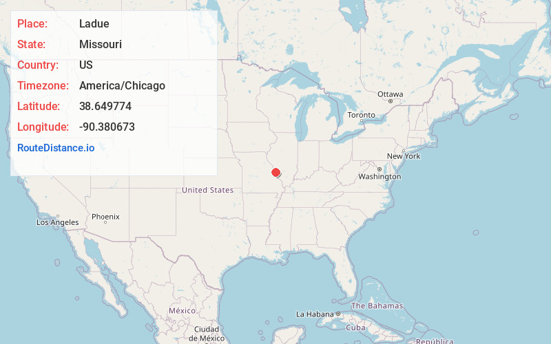
Full AddressLadue, MO
-
Coordinates38.6497743, -90.3806725
-
LocationLadue , Missouri , US
-
TimezoneAmerica/Chicago
-
Current Local Time5:34:38 PM America/ChicagoSaturday, June 21, 2025
-
Page Views0
About Ladue
Ladue is an inner-ring suburb of St. Louis, located in St. Louis County, Missouri. As of the 2020 census, the city had a population of 8,989.
Ladue has the highest median household income of any city in Missouri with a population over 1,000.
Nearby Places
Found 10 places within 50 miles

Creve Coeur
2.4 mi
3.9 km
Creve Coeur, MO
Get directions

Clayton
3.1 mi
5.0 km
Clayton, MO
Get directions

Richmond Heights
3.6 mi
5.8 km
Richmond Heights, MO
Get directions

Overland
3.7 mi
6.0 km
Overland, MO
Get directions

Webster Groves
4.1 mi
6.6 km
Webster Groves, MO
Get directions

Kirkwood
4.8 mi
7.7 km
Kirkwood, MO 63122
Get directions

Maryland Heights
5.1 mi
8.2 km
Maryland Heights, MO
Get directions

Town and Country
5.2 mi
8.4 km
Town and Country, MO
Get directions

St Ann
5.6 mi
9.0 km
St Ann, MO
Get directions

Crestwood
6.4 mi
10.3 km
Crestwood, MO
Get directions
Location Links
Local Weather
Weather Information
Coming soon!
Location Map
Static map view of Ladue, Missouri
Browse Places by Distance
Places within specific distances from Ladue
Short Distances
Long Distances
Click any distance to see all places within that range from Ladue. Distances shown in miles (1 mile ≈ 1.61 kilometers).