Distance to Lafayette County, Wisconsin

Calculating Your Route
Just a moment while we process your request...
Location Information
-
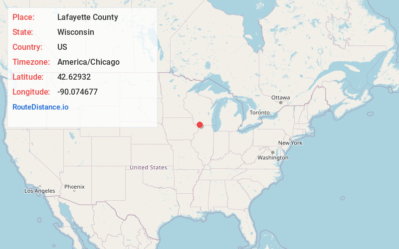
Full AddressLafayette County, WI
-
Coordinates42.6293203, -90.0746767
-
LocationWisconsin , US
-
TimezoneAmerica/Chicago
-
Current Local Time9:36:27 PM America/ChicagoTuesday, June 3, 2025
-
Page Views0
About Lafayette County
Lafayette County, sometimes spelled La Fayette County, is a county located in the U.S. state of Wisconsin. It was part of the Wisconsin Territory at the time of its founding. As of the 2020 census, the population was 16,611. Its county seat is Darlington.


Nearby Places
Found 10 places within 50 miles

Red Rock
1.6 mi
2.6 km
Red Rock, Darlington, WI 53530
Get directions

Darlington
4.3 mi
6.9 km
Darlington, WI 53530
Get directions

Gratiot
4.4 mi
7.1 km
Gratiot, WI
Get directions
Dunbarton
5.5 mi
8.9 km
Dunbarton, Shullsburg, WI 53586
Get directions

Wiota
6.2 mi
10.0 km
Wiota, WI
Get directions
Lamont
6.9 mi
11.1 km
Lamont, WI 53530
Get directions

Apple River
8.7 mi
14.0 km
Apple River, IL 61001
Get directions

Shullsburg
8.8 mi
14.2 km
Shullsburg, WI 53586
Get directions
Fayette
8.9 mi
14.3 km
Fayette, WI 53530
Get directions
Calamine
9.0 mi
14.5 km
Calamine, Willow Springs, WI 53565
Get directions
Location Links
Local Weather
Weather Information
Coming soon!
Location Map
Static map view of Lafayette County, Wisconsin
Browse Places by Distance
Places within specific distances from Lafayette County
Short Distances
Long Distances
Click any distance to see all places within that range from Lafayette County. Distances shown in miles (1 mile ≈ 1.61 kilometers).