Distance to Lafreniere Park, Louisiana

Calculating Your Route
Just a moment while we process your request...
Location Information
-
Full AddressLafreniere Park, 3000 Downs Blvd, Metairie, LA 70003
-
Coordinates29.9985499, -90.2148331
-
Street3000 Downs Blvd
-
LocationMetairie , Louisiana , US
-
TimezoneAmerica/Chicago
-
Current Local Time2:16:25 AM America/ChicagoFriday, May 23, 2025
-
Website
-
Page Views0
About Lafreniere Park
Lush park with picnic areas, a 2-mile jogging path, play areas, athletic fields, fishing & more.


Nearby Places
Found 10 places within 50 miles

Kenner
1.6 mi
2.6 km
Kenner, LA
Get directions

River Ridge
2.7 mi
4.3 km
River Ridge, LA
Get directions

Elmwood
3.3 mi
5.3 km
Elmwood, LA
Get directions

Metairie Terrace
3.3 mi
5.3 km
Metairie Terrace, Metairie, LA 70001
Get directions
Live Oak Manor
3.6 mi
5.8 km
Live Oak Manor, Waggaman, LA 70094
Get directions

Metairie
3.8 mi
6.1 km
Metairie, LA
Get directions

Harahan
4.1 mi
6.6 km
Harahan, LA 70123
Get directions

Jefferson
4.3 mi
6.9 km
Jefferson, LA 70121
Get directions
Frellsen
4.9 mi
7.9 km
Frellsen, St Rose, LA 70087
Get directions
Southport
5.0 mi
8.0 km
Southport, Jefferson, LA 70121
Get directions
Location Links
Local Weather
Weather Information
Coming soon!
Location Map
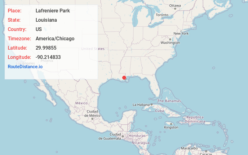
Static map view of Lafreniere Park, Louisiana
Browse Places by Distance
Places within specific distances from Lafreniere Park
Short Distances
Long Distances
Click any distance to see all places within that range from Lafreniere Park. Distances shown in miles (1 mile ≈ 1.61 kilometers).