Distance to Laguna Niguel, California

Calculating Your Route
Just a moment while we process your request...
Location Information
-
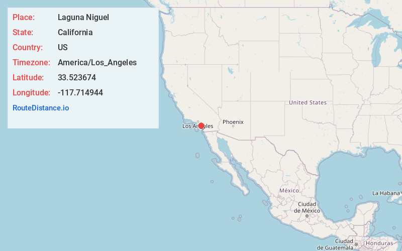
Full AddressLaguna Niguel, CA
-
Coordinates33.5236744, -117.7149438
-
LocationLaguna Niguel , California , US
-
TimezoneAmerica/Los_Angeles
-
Current Local Time7:39:04 PM America/Los_AngelesSaturday, June 21, 2025
-
Website
-
Page Views0
About Laguna Niguel
Laguna Niguel is a city in Orange County, California, United States. The name Laguna Niguel is derived from the words "Laguna" and "Niguili". As of the 2020 census, the population was 64,355.


Nearby Places
Found 10 places within 50 miles

Mission Viejo
6.0 mi
9.7 km
Mission Viejo, CA
Get directions

Lake Forest
8.7 mi
14.0 km
Lake Forest, CA
Get directions

Newport Beach
10.7 mi
17.2 km
Newport Beach, CA
Get directions

Irvine
12.8 mi
20.6 km
Irvine, CA
Get directions

Costa Mesa
14.6 mi
23.5 km
Costa Mesa, CA
Get directions

Tustin
16.3 mi
26.2 km
Tustin, CA
Get directions

Santa Ana
17.7 mi
28.5 km
Santa Ana, CA
Get directions

Orange
20.0 mi
32.2 km
Orange, CA
Get directions

Garden Grove
21.6 mi
34.8 km
Garden Grove, CA
Get directions

Westminster
22.7 mi
36.5 km
Westminster, CA
Get directions
Location Links
Local Weather
Weather Information
Coming soon!
Location Map
Static map view of Laguna Niguel, California
Browse Places by Distance
Places within specific distances from Laguna Niguel
Short Distances
Long Distances
Click any distance to see all places within that range from Laguna Niguel. Distances shown in miles (1 mile ≈ 1.61 kilometers).