Distance to Laings, Ohio

Calculating Your Route
Just a moment while we process your request...
Location Information
-
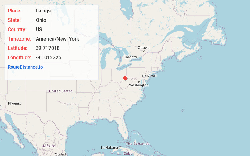
Full AddressLaings, OH 43793
-
Coordinates39.7170182, -81.012325
-
LocationLaings , Ohio , US
-
TimezoneAmerica/New_York
-
Current Local Time4:20:34 PM America/New_YorkWednesday, June 18, 2025
-
Page Views0
About Laings
Laings is an unincorporated community in central Green Township, Monroe County, Ohio, United States. It has a post office with the ZIP code 43752. It lies along State Route 255.
Nearby Places
Found 10 places within 50 miles

Benwood
2.2 mi
3.5 km
Benwood, Green Township, OH 43793
Get directions
Altitude
2.6 mi
4.2 km
Altitude, OH 43793
Get directions
Round Bottom
2.6 mi
4.2 km
Round Bottom, Green Township, OH 43793
Get directions
Cranenest
2.7 mi
4.3 km
Cranenest, Green Township, OH 43793
Get directions
Foxtown
3.3 mi
5.3 km
Foxtown, Green Township, OH 43793
Get directions
Oak
4.2 mi
6.8 km
Oak, Salem Township, OH 43915
Get directions
Dairy
4.8 mi
7.7 km
Dairy, Lee Township, OH 43946
Get directions
Winklers Mill
4.8 mi
7.7 km
Winklers Mill, OH 43946
Get directions
Antioch
4.9 mi
7.9 km
Antioch, OH
Get directions
Griffith
4.9 mi
7.9 km
Griffith, Center Township, OH 43793
Get directions
Location Links
Local Weather
Weather Information
Coming soon!
Location Map
Static map view of Laings, Ohio
Browse Places by Distance
Places within specific distances from Laings
Short Distances
Long Distances
Click any distance to see all places within that range from Laings. Distances shown in miles (1 mile ≈ 1.61 kilometers).