Distance to Laird, Colorado

Calculating Your Route
Just a moment while we process your request...
Location Information
-
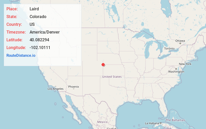
Full AddressLaird, CO 80758
-
Coordinates40.0822939, -102.1011103
-
LocationLaird , Colorado , US
-
TimezoneAmerica/Denver
-
Current Local Time1:24:09 AM America/DenverMonday, June 2, 2025
-
Page Views0
About Laird
Laird is an unincorporated community and a census-designated place in Yuma County, Colorado, United States. The population of the Laird CDP was 46 at the United States Census 2020.
Nearby Places
Found 10 places within 50 miles

Wray
6.5 mi
10.5 km
Wray, CO 80758
Get directions

Haigler
9.8 mi
15.8 km
Haigler, NE 69030
Get directions

Eckley
20.7 mi
33.3 km
Eckley, CO 80727
Get directions

St Francis
26.6 mi
42.8 km
St Francis, KS 67756
Get directions

Idalia
28.1 mi
45.2 km
Idalia, CO 80735
Get directions

Benkelman
30.1 mi
48.4 km
Benkelman, NE 69021
Get directions
Champion
32.5 mi
52.3 km
Champion, NE 69023
Get directions

Yuma
33.1 mi
53.3 km
Yuma, CO 80759
Get directions
Holyoke
36.3 mi
58.4 km
Holyoke, CO 80734
Get directions
Max
37.0 mi
59.5 km
Max, NE
Get directions
Location Links
Local Weather
Weather Information
Coming soon!
Location Map
Static map view of Laird, Colorado
Browse Places by Distance
Places within specific distances from Laird
Short Distances
Long Distances
Click any distance to see all places within that range from Laird. Distances shown in miles (1 mile ≈ 1.61 kilometers).