Distance to Lake St Louis, Missouri

Calculating Your Route
Just a moment while we process your request...
Location Information
-
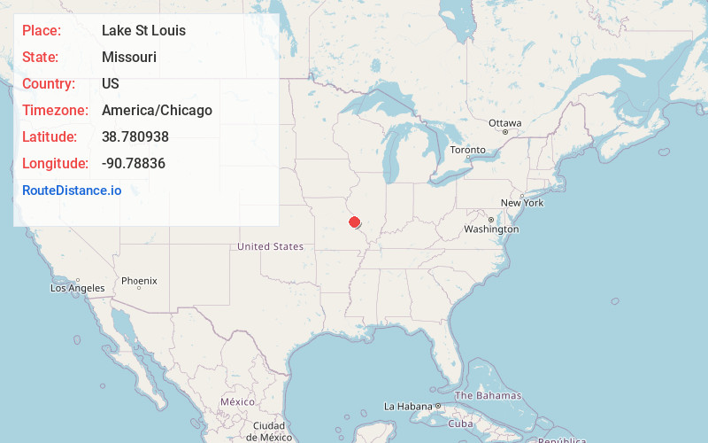
Full AddressLake St Louis, MO
-
Coordinates38.7809384, -90.7883604
-
LocationLake St Louis , Missouri , US
-
TimezoneAmerica/Chicago
-
Current Local Time1:39:14 PM America/ChicagoWednesday, June 4, 2025
-
Website
-
Page Views0
About Lake St Louis
The City of Lake St. Louis is a planned community, and suburb of greater St. Louis, situated around two lakes between Interstate 70 and Interstate 64 in western St. Charles County, Missouri, United States. The population was 16,707 as of the 2020 US Census. Lake St. Louis, is 43 miles from the city of St. Louis.


Nearby Places
Found 10 places within 50 miles

Wentzville
4.1 mi
6.6 km
Wentzville, MO
Get directions

O'Fallon
5.2 mi
8.4 km
O'Fallon, MO
Get directions

St Peters
8.5 mi
13.7 km
St Peters, MO
Get directions

Chesterfield
14.0 mi
22.5 km
Chesterfield, MO
Get directions

Wildwood
15.3 mi
24.6 km
Wildwood, MO
Get directions

St Charles
16.5 mi
26.6 km
St Charles, MO
Get directions

Ballwin
18.3 mi
29.5 km
Ballwin, MO
Get directions

Manchester
19.7 mi
31.7 km
Manchester, MO
Get directions

Maryland Heights
19.9 mi
32.0 km
Maryland Heights, MO
Get directions

Creve Coeur
21.4 mi
34.4 km
Creve Coeur, MO
Get directions
Location Links
Local Weather
Weather Information
Coming soon!
Location Map
Static map view of Lake St Louis, Missouri
Browse Places by Distance
Places within specific distances from Lake St Louis
Short Distances
Long Distances
Click any distance to see all places within that range from Lake St Louis. Distances shown in miles (1 mile ≈ 1.61 kilometers).