Distance to Lamar, Mississippi

Calculating Your Route
Just a moment while we process your request...
Location Information
-
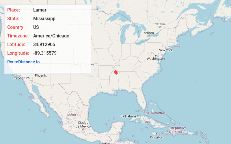
Full AddressLamar, MS 38642
-
Coordinates34.912905, -89.3155787
-
LocationLamar , Mississippi , US
-
TimezoneAmerica/Chicago
-
Current Local Time4:05:07 PM America/ChicagoTuesday, June 3, 2025
-
Page Views0
About Lamar
Lamar is a census-designated place and unincorporated community in Benton County, Mississippi, United States. It is located along Mississippi Highway 7 in western Benton County. Lamar has a post office with the ZIP code 38642.
Nearby Places
Found 10 places within 50 miles

Snow Lake Shores
7.5 mi
12.1 km
Snow Lake Shores, MS 38603
Get directions

Ashland
9.7 mi
15.6 km
Ashland, MS 38603
Get directions

La Grange
10.0 mi
16.1 km
La Grange, TN
Get directions

Moscow
11.5 mi
18.5 km
Moscow, TN 38057
Get directions
Mt Pleasant
11.7 mi
18.8 km
Mt Pleasant, MS
Get directions

Grand Junction
11.9 mi
19.2 km
Grand Junction, TN 38039
Get directions

Holly Springs
12.6 mi
20.3 km
Holly Springs, MS 38635
Get directions
Benton County
12.8 mi
20.6 km
Benton County, MS
Get directions
Red Banks
15.3 mi
24.6 km
Red Banks, MS
Get directions
Saulsbury
15.9 mi
25.6 km
Saulsbury, TN
Get directions
Location Links
Local Weather
Weather Information
Coming soon!
Location Map
Static map view of Lamar, Mississippi
Browse Places by Distance
Places within specific distances from Lamar
Short Distances
Long Distances
Click any distance to see all places within that range from Lamar. Distances shown in miles (1 mile ≈ 1.61 kilometers).