Distance to Lamar, Indiana

Calculating Your Route
Just a moment while we process your request...
Location Information
-
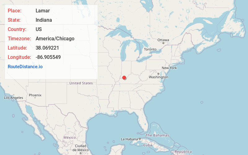
Full AddressLamar, IN 47550
-
Coordinates38.0692205, -86.9055489
-
LocationLamar , Indiana , US
-
TimezoneAmerica/Chicago
-
Current Local Time2:34:56 AM America/ChicagoSunday, June 22, 2025
-
Page Views0
About Lamar
Lamar is an unincorporated community in Clay Township, Spencer County, in the U.S. state of Indiana.
Nearby Places
Found 10 places within 50 miles

Kennedy
1.3 mi
2.1 km
Kennedy, IN 47550
Get directions
Schley
2.5 mi
4.0 km
Schley, Huff Township, IN 47531
Get directions

Santa Claus
3.5 mi
5.6 km
Santa Claus, IN
Get directions
Newtonville
5.1 mi
8.2 km
Newtonville, IN
Get directions
Mariah Hill
6.7 mi
10.8 km
Mariah Hill, IN
Get directions
Gentryville
7.3 mi
11.7 km
Gentryville, IN 47537
Get directions
Huffman
7.4 mi
11.9 km
Huffman, IN 47588
Get directions

Troy
7.8 mi
12.6 km
Troy, IN
Get directions
Chrisney
8.1 mi
13.0 km
Chrisney, IN 47611
Get directions

Dale
8.3 mi
13.4 km
Dale, IN 47523
Get directions
Location Links
Local Weather
Weather Information
Coming soon!
Location Map
Static map view of Lamar, Indiana
Browse Places by Distance
Places within specific distances from Lamar
Short Distances
Long Distances
Click any distance to see all places within that range from Lamar. Distances shown in miles (1 mile ≈ 1.61 kilometers).