Distance to Lambrook, Arkansas

Calculating Your Route
Just a moment while we process your request...
Location Information
-
Full AddressLambrook, AR
-
Coordinates34.3358271, -90.967783
-
LocationLambrook , Arkansas , US
-
TimezoneAmerica/Chicago
-
Current Local Time2:18:57 PM America/ChicagoMonday, June 2, 2025
-
Page Views0
About Lambrook
Lambrook is an unincorporated community in Phillips County, Arkansas, United States. Lambrook is located on Arkansas Highway 20, 7 miles west-northwest of Elaine. Lambrook has a post office with ZIP code 72353.
Nearby Places
Found 10 places within 50 miles

Ratio
5.5 mi
8.9 km
Ratio, AR 72333
Get directions
Mary Spur
5.6 mi
9.0 km
Mary Spur, AR 72333
Get directions
Countiss
6.4 mi
10.3 km
Countiss, AR 72333
Get directions
Indian Bay
6.5 mi
10.5 km
Indian Bay, AR 72069
Get directions

Elaine
6.8 mi
10.9 km
Elaine, AR 72333
Get directions
Ragan
6.9 mi
11.1 km
Ragan, AR 72333
Get directions
Catron
6.9 mi
11.1 km
Catron, AR 72367
Get directions
Hoop Spur
7.5 mi
12.1 km
Hoop Spur, AR 72333
Get directions

Mellwood
8.1 mi
13.0 km
Mellwood, AR
Get directions

Cross Roads
8.5 mi
13.7 km
Cross Roads, AR 72069
Get directions
Location Links
Local Weather
Weather Information
Coming soon!
Location Map
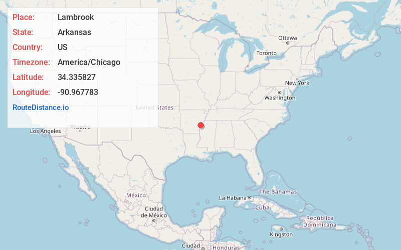
Static map view of Lambrook, Arkansas
Browse Places by Distance
Places within specific distances from Lambrook
Short Distances
Long Distances
Click any distance to see all places within that range from Lambrook. Distances shown in miles (1 mile ≈ 1.61 kilometers).