Distance to Lambs Grove, Iowa

Calculating Your Route
Just a moment while we process your request...
Location Information
-
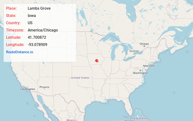
Full AddressLambs Grove, IA 50208
-
Coordinates41.7008717, -93.0789094
-
LocationLambs Grove , Iowa , US
-
TimezoneAmerica/Chicago
-
Current Local Time12:36:25 AM America/ChicagoWednesday, May 21, 2025
-
Page Views0
About Lambs Grove
Lambs Grove is a city in Jasper County, Iowa, United States. The population was 174 as of the 2020 Census, down from 225 recorded in 2000.
Nearby Places
Found 10 places within 50 miles

Newton
1.1 mi
1.8 km
Newton, IA 50208
Get directions

Colfax
8.7 mi
14.0 km
Colfax, IA 50054
Get directions

Kellogg
8.9 mi
14.3 km
Kellogg, IA 50135
Get directions

Baxter
9.4 mi
15.1 km
Baxter, IA 50028
Get directions

Prairie City
10.7 mi
17.2 km
Prairie City, IA 50228
Get directions
Mingo
11.5 mi
18.5 km
Mingo, IA 50168
Get directions
Monroe
12.5 mi
20.1 km
Monroe, IA 50170
Get directions

Mitchellville
14.6 mi
23.5 km
Mitchellville, IA 50169
Get directions
Sully
14.8 mi
23.8 km
Sully, IA 50251
Get directions
Rhodes
16.5 mi
26.6 km
Rhodes, IA 50234
Get directions
Location Links
Local Weather
Weather Information
Coming soon!
Location Map
Static map view of Lambs Grove, Iowa
Browse Places by Distance
Places within specific distances from Lambs Grove
Short Distances
Long Distances
Click any distance to see all places within that range from Lambs Grove. Distances shown in miles (1 mile ≈ 1.61 kilometers).