Distance to Lame Deer, Montana

Calculating Your Route
Just a moment while we process your request...
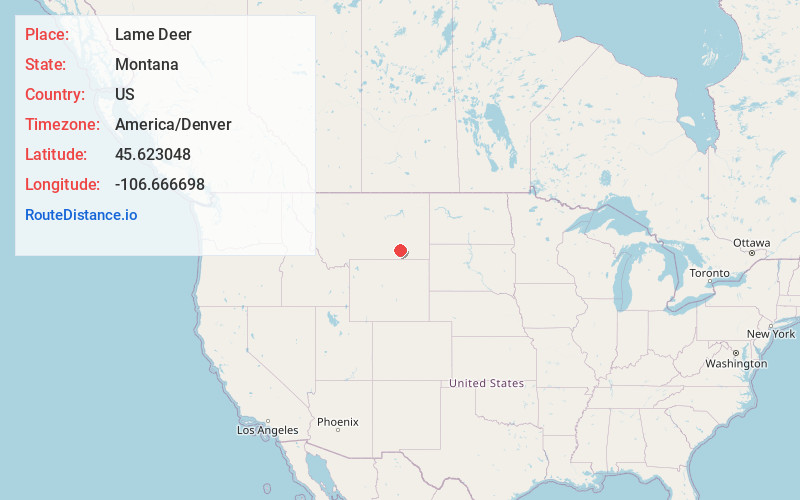
Location Information
-
Full AddressLame Deer, MT
-
Coordinates45.6230476, -106.6666984
-
LocationLame Deer , Montana , US
-
TimezoneAmerica/Denver
-
Current Local Time1:52:25 PM America/DenverFriday, June 13, 2025
-
Page Views0
About Lame Deer
Lame Deer is a census-designated place in Rosebud County, Montana, United States. The community is named after Miniconjou Lakota chief Lame Deer, who was killed by the U.S. Army in 1877 under a flag of truce south of the town. It was the site of a trading post from the late 1870s.


Nearby Places
Found 2 places within 50 miles


Location Links
Local Weather
Weather Information
Coming soon!
Location Map
Static map view of Lame Deer, Montana
Browse Places by Distance
Places within specific distances from Lame Deer
Short Distances
Long Distances
Click any distance to see all places within that range from Lame Deer. Distances shown in miles (1 mile ≈ 1.61 kilometers).