Distance to Landfall, Minnesota

Calculating Your Route
Just a moment while we process your request...
Location Information
-
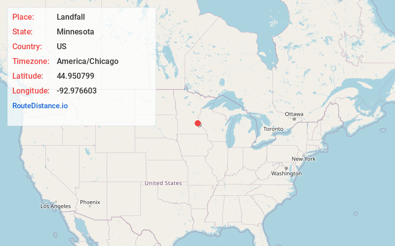
Full AddressLandfall, MN 55128
-
Coordinates44.9507993, -92.9766032
-
LocationLandfall , Minnesota , US
-
TimezoneAmerica/Chicago
-
Current Local Time6:36:21 AM America/ChicagoMonday, June 2, 2025
-
Page Views0
About Landfall
Landfall is a city in Washington County, Minnesota, United States. The population was 686 at the 2010 census and is the smallest community in Washington County in terms of area. It lies on the eastern shore of Tanner's Lake on Interstate 94.
Nearby Places
Found 10 places within 50 miles

Maplewood
0.9 mi
1.4 km
Maplewood, MN
Get directions

Oakdale
1.0 mi
1.6 km
Oakdale, MN 55128
Get directions

Woodbury
2.0 mi
3.2 km
Woodbury, MN
Get directions

North St Paul
4.3 mi
6.9 km
North St Paul, MN 55109
Get directions

St Paul
5.5 mi
8.9 km
St Paul, MN
Get directions

Lake Elmo
5.7 mi
9.2 km
Lake Elmo, MN 55042
Get directions

South St Paul
5.7 mi
9.2 km
South St Paul, MN
Get directions

Newport
5.9 mi
9.5 km
Newport, MN
Get directions

West St Paul
6.6 mi
10.6 km
West St Paul, MN 55118
Get directions

Birchwood Village
7.6 mi
12.2 km
Birchwood Village, MN
Get directions
Location Links
Local Weather
Weather Information
Coming soon!
Location Map
Static map view of Landfall, Minnesota
Browse Places by Distance
Places within specific distances from Landfall
Short Distances
Long Distances
Click any distance to see all places within that range from Landfall. Distances shown in miles (1 mile ≈ 1.61 kilometers).