Distance to Lands Crossroads, Georgia

Calculating Your Route
Just a moment while we process your request...
Location Information
-
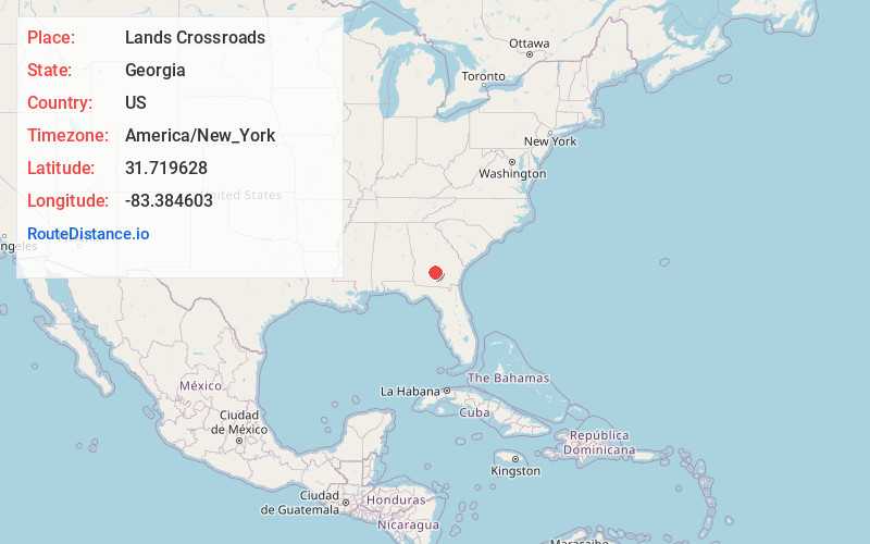
Full AddressLands Crossroads, GA 31783
-
Coordinates31.7196279, -83.3846033
-
LocationGeorgia , US
-
TimezoneAmerica/New_York
-
Current Local Time9:37:14 PM America/New_YorkSaturday, June 14, 2025
-
Page Views0
Nearby Places
Found 10 places within 50 miles

Westwood
5.5 mi
8.9 km
Westwood, GA 31750
Get directions

Fitzgerald
7.8 mi
12.6 km
Fitzgerald, GA 31750
Get directions

Rebecca
8.5 mi
13.7 km
Rebecca, GA 31783
Get directions
Pinetta
8.9 mi
14.3 km
Pinetta, GA 31774
Get directions
Lulaville
9.3 mi
15.0 km
Lulaville, GA 31750
Get directions
Waterloo
10.2 mi
16.4 km
Waterloo, GA 31733
Get directions
Sibbie
10.4 mi
16.7 km
Sibbie, GA 31001
Get directions

Ocilla
11.7 mi
18.8 km
Ocilla, GA 31774
Get directions

Sycamore
15.2 mi
24.5 km
Sycamore, GA
Get directions

Ashburn
15.8 mi
25.4 km
Ashburn, GA 31714
Get directions
Location Links
Local Weather
Weather Information
Coming soon!
Location Map
Static map view of Lands Crossroads, Georgia
Browse Places by Distance
Places within specific distances from Lands Crossroads
Short Distances
Long Distances
Click any distance to see all places within that range from Lands Crossroads. Distances shown in miles (1 mile ≈ 1.61 kilometers).