Distance to Lanett, Alabama

Calculating Your Route
Just a moment while we process your request...
Location Information
-
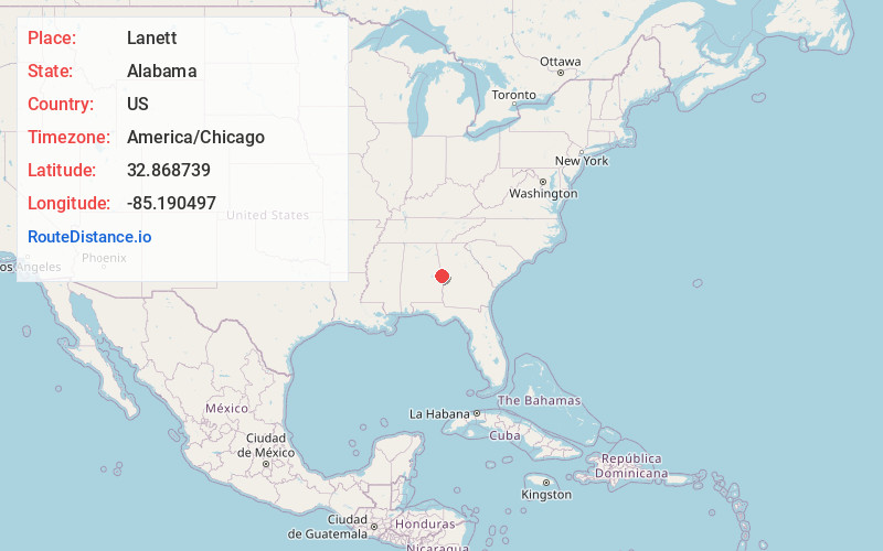
Full AddressLanett, AL
-
Coordinates32.8687391, -85.1904971
-
LocationLanett , Alabama , US
-
TimezoneAmerica/Chicago
-
Current Local Time7:17:01 AM America/ChicagoThursday, June 5, 2025
-
Website
-
Page Views0
About Lanett
Lanett is a city in Chambers County, Alabama, United States. At the 2010 census the population was 6,468, down from 7,897 in 2000. Lanett, originally called Bluffton, is located in eastern Alabama, on the Chattahoochee River, southwest of Atlanta.


Nearby Places
Found 10 places within 50 miles

Valley
3.5 mi
5.6 km
Valley, AL 36854
Get directions

LaGrange
14.8 mi
23.8 km
LaGrange, GA
Get directions

Opelika
18.9 mi
30.4 km
Opelika, AL
Get directions

Auburn
24.6 mi
39.6 km
Auburn, AL
Get directions

Phenix City
29.6 mi
47.6 km
Phenix City, AL
Get directions

Columbus
30.0 mi
48.3 km
Columbus, GA
Get directions

Newnan
42.0 mi
67.6 km
Newnan, GA
Get directions

Tuskegee
42.7 mi
68.7 km
Tuskegee, AL
Get directions

Alexander City
44.6 mi
71.8 km
Alexander City, AL
Get directions

Cusseta
45.7 mi
73.5 km
Cusseta, GA
Get directions
Location Links
Local Weather
Weather Information
Coming soon!
Location Map
Static map view of Lanett, Alabama
Browse Places by Distance
Places within specific distances from Lanett
Short Distances
Long Distances
Click any distance to see all places within that range from Lanett. Distances shown in miles (1 mile ≈ 1.61 kilometers).