Distance to Laney, Wisconsin

Calculating Your Route
Just a moment while we process your request...
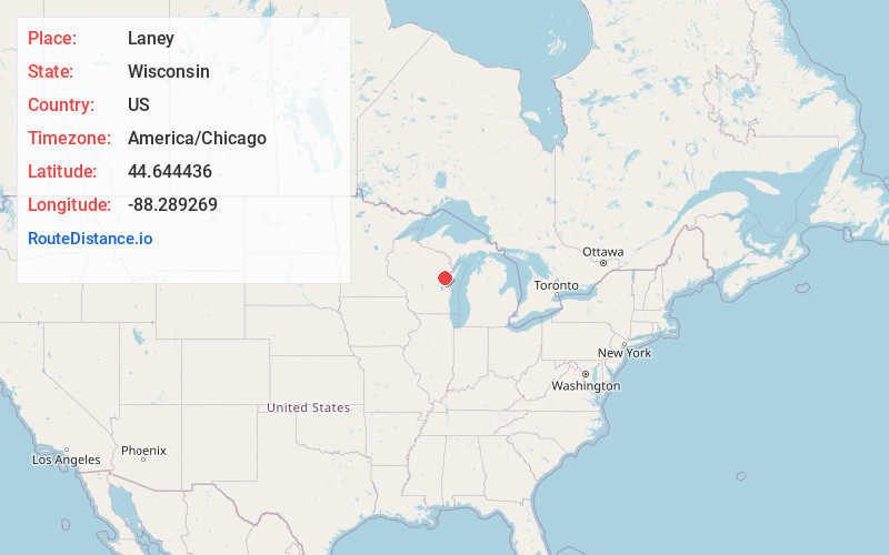
Location Information
-
Full AddressLaney, Maple Grove, WI 54162
-
Coordinates44.6444362, -88.289269
-
LocationMaple Grove , Wisconsin , US
-
TimezoneAmerica/Chicago
-
Current Local Time10:30:58 AM America/ChicagoThursday, June 19, 2025
-
Page Views0
About Laney
Laney is an unincorporated community located in the town of Maple Grove, Shawano County, Wisconsin, United States. Laney is located near Wisconsin Highway 29 3 miles southwest of Pulaski. The Laney School is listed on the National Register of Historic Places.
Nearby Places
Found 10 places within 50 miles

Hofa Park
2.4 mi
3.9 km
Hofa Park, WI 54165
Get directions
Angelica
2.4 mi
3.9 km
Angelica, WI 54162
Get directions
Pulaski
3.0 mi
4.8 km
Pulaski, WI 54162
Get directions
Isaar
5.0 mi
8.0 km
Isaar, WI 54165
Get directions
Kunesh
5.3 mi
8.5 km
Kunesh, WI 54162
Get directions
Zachow
7.1 mi
11.4 km
Zachow, WI 54107
Get directions
South Chase
7.5 mi
12.1 km
South Chase, WI 54162
Get directions
Landstad
7.7 mi
12.4 km
Landstad, Lessor, WI 54107
Get directions
Krakow
8.0 mi
12.9 km
Krakow, WI 54137
Get directions
Flintville
8.4 mi
13.5 km
Flintville, Suamico, WI 54313
Get directions
Location Links
Local Weather
Weather Information
Coming soon!
Location Map
Static map view of Laney, Wisconsin
Browse Places by Distance
Places within specific distances from Laney
Short Distances
Long Distances
Click any distance to see all places within that range from Laney. Distances shown in miles (1 mile ≈ 1.61 kilometers).