Distance to Langley, Virginia

Calculating Your Route
Just a moment while we process your request...
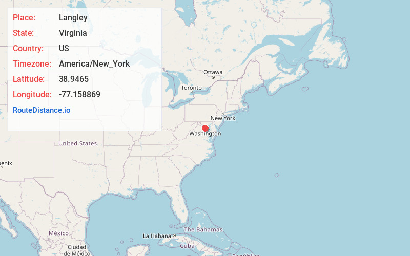
Location Information
-
Full AddressLangley, McLean, VA 22101
-
Coordinates38.9464996, -77.1588685
-
LocationMcLean , Virginia , US
-
TimezoneAmerica/New_York
-
Current Local Time7:30:16 AM America/New_YorkTuesday, June 3, 2025
-
Page Views0
About Langley
Langley is an unincorporated community in the census-designated place of McLean in Fairfax County, Virginia, United States. The name "Langley" often occurs as a metonym for the Central Intelligence Agency, whose headquarters, the George Bush Center for Intelligence, is in Langley.
Nearby Places
Found 10 places within 50 miles

Langley Forest
1.2 mi
1.9 km
Langley Forest, McLean, VA 22101
Get directions

McLean
1.3 mi
2.1 km
McLean, VA
Get directions
Bryn Mawr
1.5 mi
2.4 km
Bryn Mawr, McLean, VA 22101
Get directions
Parkview Hills
1.5 mi
2.4 km
Parkview Hills, McLean, VA 22101
Get directions
River Oaks
1.5 mi
2.4 km
River Oaks, McLean, VA 22101
Get directions
Old Dominion Gardens
1.8 mi
2.9 km
Old Dominion Gardens, McLean, VA 22101
Get directions
Chesterbrook Woods
1.8 mi
2.9 km
Chesterbrook Woods, McLean, VA 22101
Get directions

Glen Echo
1.8 mi
2.9 km
Glen Echo, MD
Get directions
Chesterbrook Estates
1.9 mi
3.1 km
Chesterbrook Estates, McLean, VA 22101
Get directions
Balls Hill
1.9 mi
3.1 km
Balls Hill, McLean, VA 22101
Get directions
Location Links
Local Weather
Weather Information
Coming soon!
Location Map
Static map view of Langley, Virginia
Browse Places by Distance
Places within specific distances from Langley
Short Distances
Long Distances
Click any distance to see all places within that range from Langley. Distances shown in miles (1 mile ≈ 1.61 kilometers).