Distance to Lanton, Missouri

Calculating Your Route
Just a moment while we process your request...
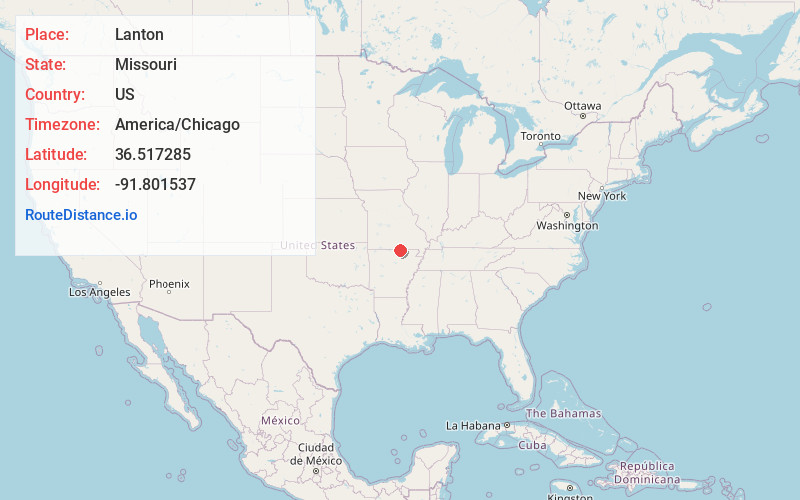
Location Information
-
Full AddressLanton, Myatt Township, MO 65775
-
Coordinates36.5172854, -91.8015367
-
LocationMyatt Township , Missouri , US
-
TimezoneAmerica/Chicago
-
Current Local Time9:29:13 AM America/ChicagoTuesday, June 24, 2025
-
Page Views0
About Lanton
Lanton is an unincorporated community in southern Howell County, Missouri, United States. It is located on Missouri Route 17 between Missouri Route 142 and the Arkansas line approximately one mile to the south.
A post office called Lanton was established in 1881, and remained in operation until 1977.
Nearby Places
Found 10 places within 50 miles

Sturkie
5.7 mi
9.2 km
Sturkie, AR 72578
Get directions

Salem
10.2 mi
16.4 km
Salem, AR 72576
Get directions

Koshkonong
10.2 mi
16.4 km
Koshkonong, MO 65692
Get directions
Moody
10.5 mi
16.9 km
Moody, MO 65777
Get directions
Brandsville
11.1 mi
17.9 km
Brandsville, MO 65775
Get directions
South Fork
11.8 mi
19.0 km
South Fork, MO 65775
Get directions
French
12.4 mi
20.0 km
French, AR 72520
Get directions
Viola
13.1 mi
21.1 km
Viola, AR 72583
Get directions
Hocomo
13.1 mi
21.1 km
Hocomo, Benton Township, MO 65626
Get directions
Elliot Ford
14.1 mi
22.7 km
Elliot Ford, Big Apple Township, MO 65692
Get directions
Location Links
Local Weather
Weather Information
Coming soon!
Location Map
Static map view of Lanton, Missouri
Browse Places by Distance
Places within specific distances from Lanton
Short Distances
Long Distances
Click any distance to see all places within that range from Lanton. Distances shown in miles (1 mile ≈ 1.61 kilometers).